What is recorded here
Mackilreiny is the rare exception where a Rath still stands instead of disappearing into grass. Most local raths are gone, reduced to stories or shallow dips, but this one resisted erasure. That difference matters because it is the place itself speaking through stone and shape rather than waiting for someone else to repeat it.
The official Northern Ireland record identifies this as RATH. Recorded period: E.CHRIST.. The official map point was placed at the centre of the recorded archaeological site from the source map reference.
The monument record does not grant public access. Check the route and ask the landowner before entering private land.
- What survives
- Recorded monument
Places near here
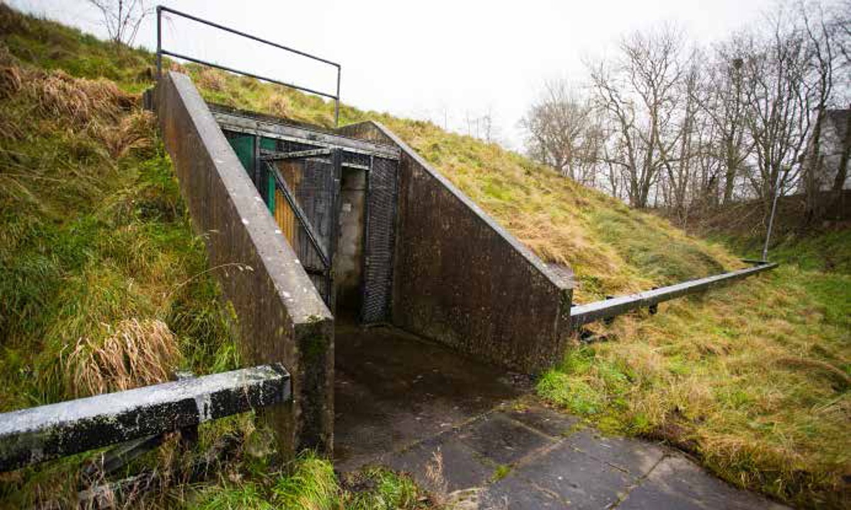 ENCLOSURE in BallymackilreinyENCLOSURE · 647 yd
 ENCLOSUREENCLOSURE, rath · 1099 yd
 The Moat PadWalking route · 1168 yd
 CHURCH & GRAVEYARD: DRUMGOOLAND in DeehommedCHURCH & GRAVEYARD: DRUMGOOLAND · 1529 yd
,_Ballyward_-_geograph.org.uk_-_2567804.jpg?width=1280) Drumgooland Parish ChurchChurch · 1.3 mi
Drumgooland Parish ChurchChurch · 1.3 mi Ballyward HouseHouse · 1.3 mi
 SlievenaboleyMountain / peak · 1.4 mi
 Benraw MountainMountain / peak · 1.6 mi
 CASTLE & RATH reused as BAILEY: SEAFIN CASTLE; Magh Cobha; Moycove in SeafinCASTLE & RATH reused as BAILEY: SEAFIN CASTLE; Magh Cobha; Moycove · 3.3 mi
 Backaderry WoodForest · 3.4 mi
 Moorish TowerCastle · 3.5 mi
 Cypress Pond CollectionWood · 3.7 mi