What is recorded here
Mnemo knows the names and the shape of the parts. The user wants a clear story about RATH in Ballymacaratty Beg. Constraints: - One paragraph - 2 to 4 sentences - 45 to 110 words - Start with clearest strong fact - Make it feel inhabited, odd, dangerous, useful, joyful or quietly strange - Use provided names, dates, events - Do not invent new exact person, date, named event or place name - May imagine lost human life, feelings, uses, but make wondering clear - Use only capitalised names, historic peoples, period labels in facts - If local lore appears, call it story or tradition - Ordinary English - No search, file, account, record, map, missing fact, instruction mentions - No link, source, citation, heading, warning, quotation marks, list - /no_think Facts: Name: RATH in Ballymacaratty Beg Kind: RATH Place: County Down, Ireland Recorded period: E.CHRIST.. Official kind: RATH Draft
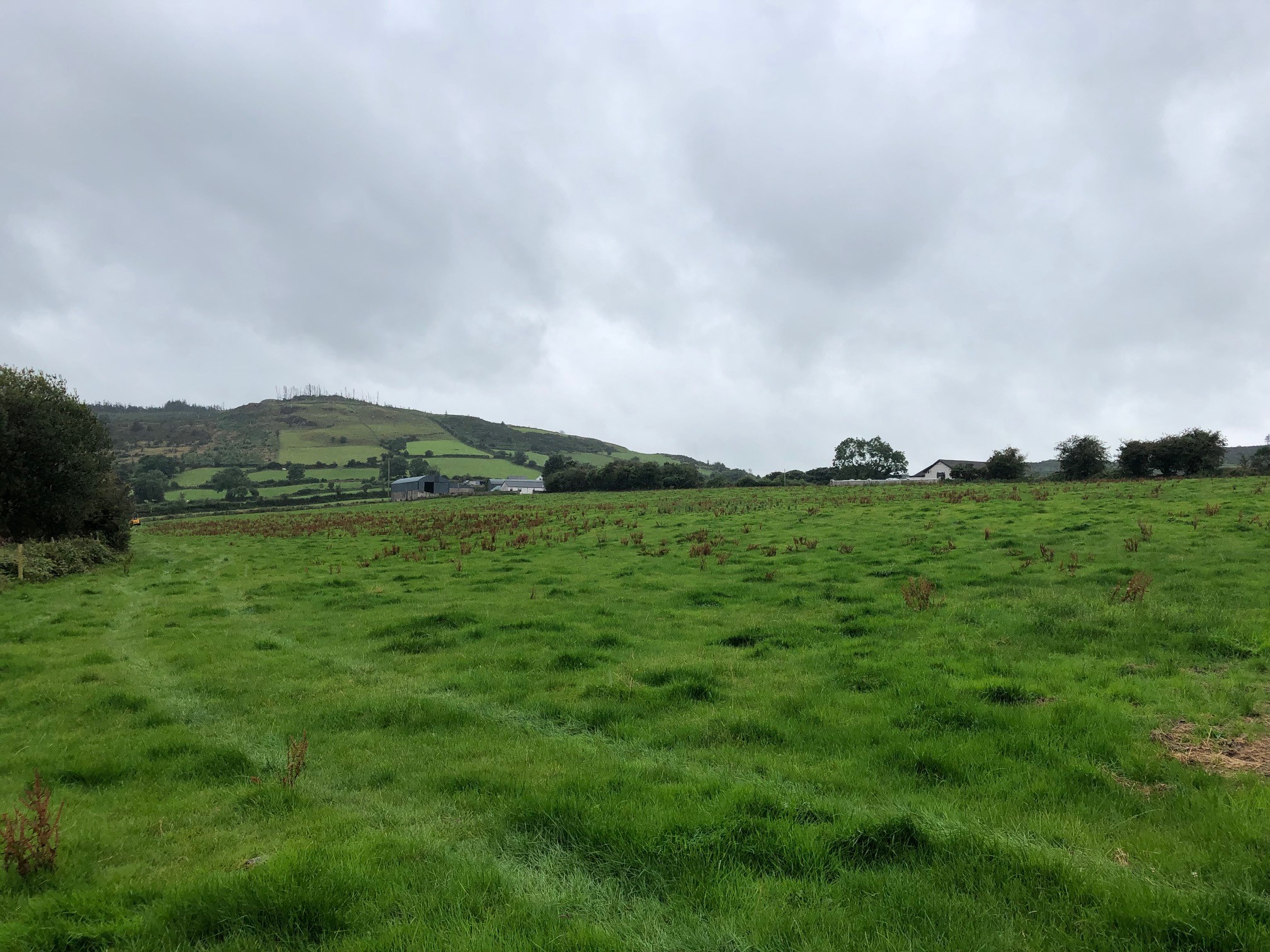
The official Northern Ireland record identifies this as RATH. Recorded period: E.CHRIST.. The official map point was placed at the centre of the recorded archaeological site from the source map reference.
The monument record does not grant public access. Check the route and ask the landowner before entering private land.
- What survives
- Recorded monument
Places near here
 AP CropmarkAP Cropmark, Enclosure · 531 yd
 ENCLOSURE: BALLYMACARATTY FORT in Ballymacaratty MoreENCLOSURE: BALLYMACARATTY FORT · 1268 yd
 Newry Canal WayWalking route · 1.4 mi
 CASTLE in LoughadianCASTLE · 1.6 mi
 Dromantine CollegeUniversity/ College Building · 1.6 mi
 Signal boxRailway Station Structures · 1.7 mi
 Canal WoodWood · 2.5 mi
 CASTLE in ScarvaCASTLE · 3.5 mi
 Scarva MemorialMemorial · 3.6 mi
 FE McWilliam Gallery and StudioGallery · 3.8 mi
 OuleyMountain / peak · 4.2 mi
 Downshire BridgeMemorial · 5.2 mi