What is recorded here
Ardvarny East holds a rath, an ancient earthwork whose boundary still marks the land. The name survives even when the shape fades beneath grass or memory. A rath is a placeholder for human pride, a circle drawn around life itself.
The official Northern Ireland record identifies this as RATH. Recorded period: E.CHRIST.. The official map point was placed at the centre of the recorded archaeological site from the source map reference.
The monument record does not grant public access. Check the route and ask the landowner before entering private land.
- What survives
- Recorded monument
Places near here
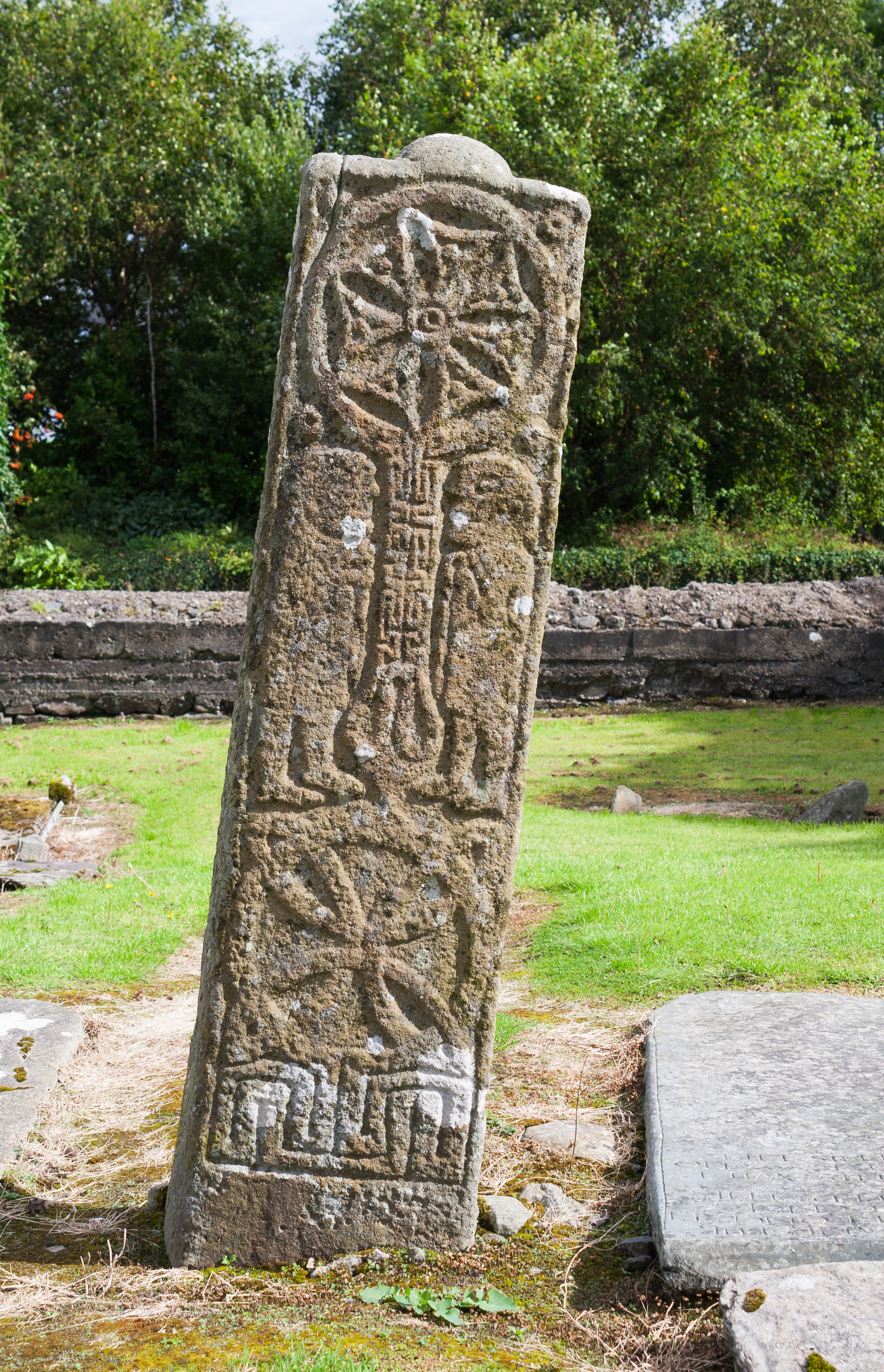 STONE CROSS in Ardvarny WestSTONE CROSS · 423 yd
 Magheraculmoney ChurchChurch · 1054 yd
 HOLY WELL: TOBERNASOOL in KiltierneyHOLY WELL: TOBERNASOOL · 1156 yd
 Kiltierney Abbey (Ruins)Ruins · 1261 yd
 Dooraa HillMountain / peak · 2.1 mi
 Edenaclogh WoodWood · 3.0 mi
 CASTLE & BAWN: OLD CASTLE ARCHDALE in BunaninverCASTLE & BAWN: OLD CASTLE ARCHDALE · 3.0 mi
 Old Castle ArchdaleCastle · 3.0 mi
 Crevenish CastleHeritage attraction · 3.2 mi
 Duck IslandIsland · 3.6 mi
 Davy's IslandIsland · 3.8 mi
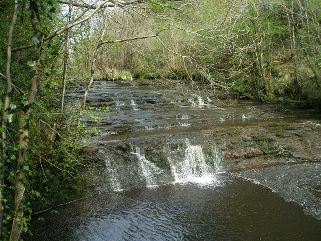 Drummoney WaterfallWaterfall · 3.8 mi