What is recorded here
Ardvarness holds a rath, an ancient earthwork that marked power long before modern borders divided the island. The chambered tomb at Clewney and the rath at Ardvarness belong to the same ancient county, linking death and rule under one sky. People built these places because they believed life continued through memory, stone and story.
The official Northern Ireland record identifies this as RATH. Recorded period: E.CHRIST.. The official map point was placed at the centre of the recorded archaeological site from the source map reference.
The monument record does not grant public access. Check the route and ask the landowner before entering private land.
- What survives
- Recorded monument
Places near here
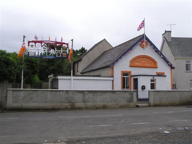 ENCLOSURE in Ardvarness, MacosquinENCLOSURE · 555 yd
 ENCLOSURE in BallyvennoxENCLOSURE · 1050 yd
 Somerset ForestForest · 2.0 mi
 Terrace Row Presbyterian ChurchChurch · 2.9 mi
 Millennium MilepostVisitor information · 2.9 mi
 Bann BridgeBridge · 2.9 mi
 Springwell ForestForest · 2.9 mi
 Quilley Picnic AreaPicnic place · 3.0 mi
 CASTLE & SETTLEMENT SITE (unlocated) in GlebeCASTLE & SETTLEMENT SITE (unlocated) · 4.6 mi
 Hezlett HouseHeritage attraction · 4.9 mi
 Portstewart StrandBeach / strand · 5.1 mi
 Castlerock BeachBeach / strand · 5.5 mi