What is recorded here
No visible mound remains in Ardgart, County Fermanagh, yet the name Rath still marks the ground where a fortified place stood. The lost structure may have had a wooden wall, a stone foundation or only a deep ditch, but the community preserved its identity long after the building disappeared. That much smaller marker resists the assumption that every important Irish place must present a grand ruin.
The official Northern Ireland record identifies this as RATH. Recorded period: E.CHRIST.. The official map point was placed at the centre of the recorded archaeological site from the source map reference.
The monument record does not grant public access. Check the route and ask the landowner before entering private land.
- What survives
- Recorded monument
Places near here
 GRAVEYARD & ENCLOSURE in SlawinGRAVEYARD & ENCLOSURE · 442 yd
 ENCLOSURE in SlawinENCLOSURE · 573 yd
 MuckinishIsland · 1258 yd
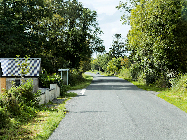 Rosscor IslandIsland · 1662 yd
 PLANTATION CASTLE: MAGHERAMEENAGH CASTLE in MagherameenaghPLANTATION CASTLE: MAGHERAMEENAGH CASTLE · 1.9 mi
 RSPB Lower Lough Erne IslandsNature reserve · 2.1 mi
 C17TH CHURCH & GRAVEYARD at CASTLE CALDWELL in RossbegC17TH CHURCH & GRAVEYARD at CASTLE CALDWELL · 2.1 mi
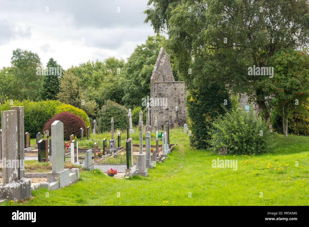 GraveyardRuins · 2.1 mi
 Castle Caldwell ForestWood · 2.1 mi
 Old Man's HeadHeritage attraction · 2.9 mi
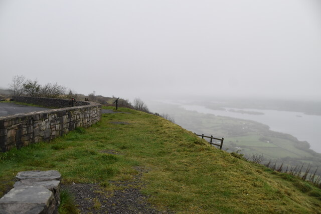 Cliffs of MaghoViewpoint · 3.8 mi
 Belleek PotteryHeritage attraction · 3.9 mi