What is recorded here
Rath is an archaeological place in County Derry, Ireland. The name suggests a fortified enclosure, boundary marker or local gathering point, though the provided facts do not describe the site itself. Whatever remains there, the place still carries the shape of human occupation: a reason for coming together, defending a line, remembering a loss or marking ownership of the land.
Rath is recorded as a archaeological place in County Derry. Its open map record supplies this location and any linked names or public references.
Places near here
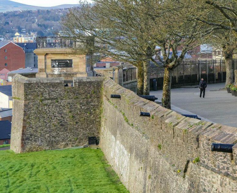 ENCLOSURE: THE FORT in LurganagooseENCLOSURE: THE FORT · 952 yd
 ENCLOSURE in BroaghENCLOSURE · 1015 yd
 Presbyterian ChurchChurch · 2.5 mi
 Christ Church, CastledawsonChurch · 2.5 mi
 War MemorialMonument · 2.6 mi
 Bellaghy BawnMuseum · 3.7 mi
 PLANTATION CASTLE & BAWN on site of RATH: BELLAGHY BAWN in Old Town Deer ParkPLANTATION CASTLE & BAWN on site of RATH: BELLAGHY BAWN · 3.7 mi
 Craigadick Picnic AreaPicnic place · 3.8 mi
 The Strand at Lough BegVisitor information · 4.5 mi
 Scroggy Mass RockNamed rock · 6.0 mi
 Slieve Gallion NE TopMountain / peak · 6.2 mi
 Portglenone ForestForest · 6.3 mi