What is recorded here
Aghalislone holds a rath and barrow, marking the area as a place where human hands shaped the land long before modern roads or fields arrived. The earth may have swallowed walls, doors and rooms, yet the mound still protrudes like a remembered rib. People may have gathered there to mark death, claim territory or simply watch the sky turn over the northern coast.
Rath is recorded as a archaeological place in County Antrim. Its open map record supplies this location and any linked names or public references.
Places near here
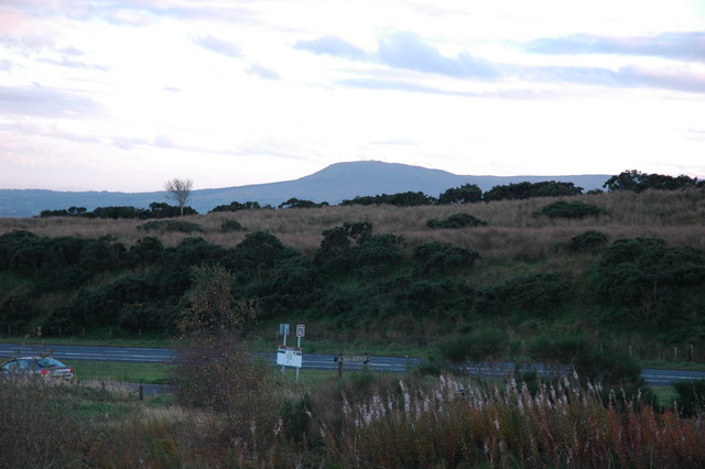 ENCLOSURE in RanaghanENCLOSURE · 468 yd
 ENCLOSURE in GarriffgeeryENCLOSURE · 580 yd
 FORTIFIED HOUSE; BAWN; site of BATTLE (1641) in StaffordstownFORTIFIED HOUSE; BAWN; site of BATTLE (1641) · 1.2 mi
 CASTLE (unlocated) in TamnaderryCASTLE (unlocated) · 1.6 mi
 Cranfield Holy WellVisitor information · 2.5 mi
 Cranfield Church & Holy WellVisitor information · 2.5 mi
 TOWER-HOUSE & BAWN: TOOME CASTLE in ToomeTOWER-HOUSE & BAWN: TOOME CASTLE · 2.9 mi
 MASS STATION: MONEYGLASS CHAPEL in BallymatoskertyMASS STATION: MONEYGLASS CHAPEL · 3.1 mi
 Randalstown Presbyterian Church (Old Congregation)Church · 3.1 mi
 Randalstown ForestForest · 3.5 mi
 Farr's BayBay · 3.8 mi
 Bellaghy BawnMuseum · 6.9 mi