What is recorded here
Aghalislone Rath stands as a circular earthwork in County Antrim, marking one of many ancient boundaries scattered across the northern landscape. Its simple ring suggests people once lived, hid or worshipped there before written memory faded. The soil may still hold the shape of hands that built it, waiting for someone to imagine their breath in the wind.
Rath is recorded as a archaeological place in County Antrim. Its open map record supplies this location and any linked names or public references.
Places near here
 CASTLE (site of): PORTGLENONE CASTLE in GarvaghyCASTLE (site of): PORTGLENONE CASTLE · 301 yd
 First Presbyterian ChurchChurch · 479 yd
 Parish ChurchChurch · 588 yd
 FORD across R. BANN & SITE OF BATTLE, 1689 (see also ANT 031:052 for opposite side of the river) in GlenoneFORD across R. BANN & SITE OF BATTLE, 1689 (see also ANT 031:052 for opposite side of the river) · 878 yd
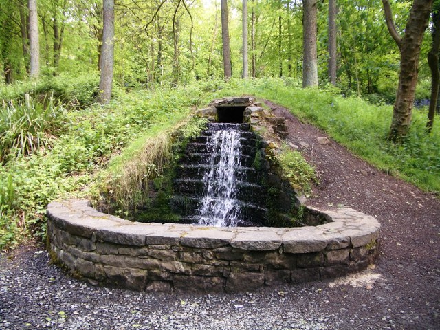 Portglenone ForestForest · 1026 yd
 ENCLOSURE in GarvaghyENCLOSURE · 1594 yd
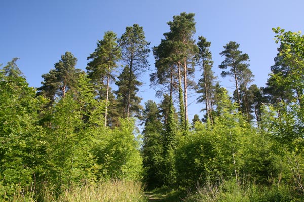 Bracknamuckley ForestWood · 1719 yd
 ENCLOSURE (unlocated) in AughnahoyENCLOSURE (unlocated) · 1.3 mi
 TullyMountain / peak · 2.1 mi
 Scroggy Mass RockNamed rock · 2.4 mi
 Seamus HeaneyMemorial · 4.1 mi
 PLANTATION CASTLE & BAWN on site of RATH: BELLAGHY BAWN in Old Town Deer ParkPLANTATION CASTLE & BAWN on site of RATH: BELLAGHY BAWN · 4.7 mi