What is recorded here
Ralusk Forts is a subcircular earthen ring in County Galway, measuring thirty-six by thirty-one metres, with two banks and a ditch that still mark its shape. It sits immediately south of another ringfort, suggesting a small cluster of occupied land rather than a lonely outpost. The inner bank survives from the northwest through the north to the northeast and at the southeast, while a steep scarp closes the remaining gap. The ditch and outer bank are visible only at the southeast, as if the rest dissolved into grass and memory. A person walking that edge today would feel the shallow dip and rising soil before understanding the shape. The fort does not demand awe; it invites touch, observation and imagination about the hands that built it.
Immediately S of a ringfort (GA028-047----). Subcircular rath (N-S 36m, E-W 31m), in fair condition, defined by two banks and an intervening fosse. The inner bank survives from NW through N to NE and at SE; a scarp forms the enclosing element elsewhere. The fosse and outer bank survive only at SE.
The above description is derived from the published 'Archaeological Inventory of County Galway Vol. II - North Galway'. Compiled by Olive Alcock, Kathy de hÓra and Paul Gosling (Dublin: Stationery Office, 1999).
Date of upload: 05 August 2010
The monument record does not grant public access. Check the route and ask the landowner before entering private land.
- What survives
- Recorded monument
Places near here
 Ralusk FortsFairy fort / earthen ringfort · 56 yd
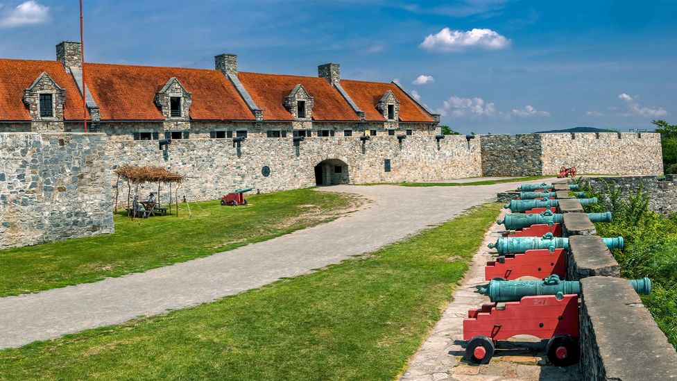 Caherhebrick FortFairy fort / stone ringfort · 463 yd
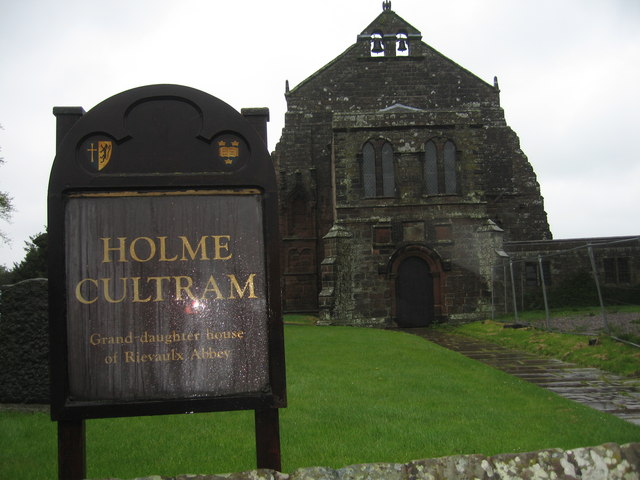 AbbeytownHouse, 18th/19th century · 624 yd
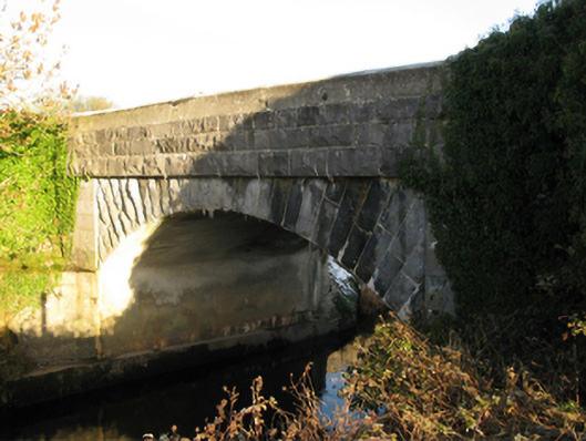 Shrule Bridgebridge · 1441 yd
 Shrule Castle in ruinsCastle, hall-house · 1511 yd
 Shrule CastleCastle · 1514 yd
 Pesooge PlantationForest · 1.5 mi
 Cregg PlantationForest · 1.7 mi
 Ross Errilly FriaryHeritage attraction · 3.4 mi
 Kilcoona Round TowerHeritage attraction · 5.0 mi
 Walsh's IslandIslet · 6.7 mi
 Otter IslandIslet · 6.9 mi