What is recorded here
Knockaholet holds a raised rath, an ancient earthwork still standing in County Antrim. It is a scheduled monument, meaning the state recognizes it as worth protecting rather than digging up or forgetting. The ground itself remembers the shape of human hands, even if the names of those hands have faded.
The official Northern Ireland record identifies this as RAISED RATH. Recorded period: E.CHRIST.. Recorded protection: Scheduled. The official map point was placed at the centre of the recorded archaeological site from the source map reference.
The monument record does not grant public access. Check the route and ask the landowner before entering private land.
- What survives
- Recorded monument
Places near here
 Ballylough Big HillMountain / peak · 1019 yd
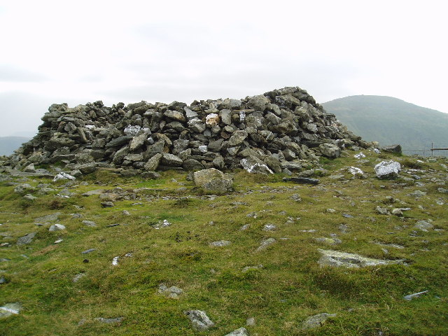 LARGE ENCLOSURE in DrumbestLARGE ENCLOSURE · 1421 yd
 A.P. SITEA.P. SITE, D-shaped enclosure · 1.6 mi
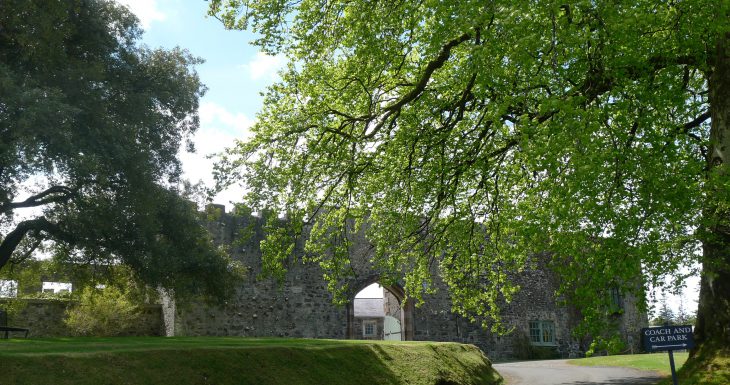 Lisanoure CastleCastle · 1.8 mi
 possible MOTTE SITE; MULTIPERIOD CASTLE SITE: LISANOURE CASTLE or LOUGH GUILE CASTLE or LOUGH KEOULLE in Castlequarterpossible MOTTE SITE; MULTIPERIOD CASTLE SITE: LISANOURE CASTLE or LOUGH GUILE CASTLE or LOUGH KEOULLE · 1.9 mi
 Long MountainMountain / peak · 3.5 mi
 Trinity ChurchChurch · 5.8 mi
 Methodist ChurchChurch · 5.9 mi
 Slieveanorra ForestForest · 6.0 mi
 Ballymoney MuseumMuseum · 6.1 mi
 Causeway Coast and Glens Heritage TrustVisitor information · 6.4 mi
 The Dark HedgesViewpoint · 6.5 mi