What is recorded here
Dunant Fort in County Antrim is a raised rath, an earthen ring that still stands where human hands first shaped the land. It may be Nancy's Fort, a name that suggests a person lived there, loved there, or was lost there. The fort is scheduled, meaning the state recognizes it as worth protecting. What is certain is that the earth remembers the shape of the people who made it, even when their names have faded.
The official Northern Ireland record identifies this as RAISED RATH: DUNANNEY FORT or NANCY'S FORT. Recorded period: E.CHRIST.. Recorded protection: Scheduled. The official map point was placed at the centre of the recorded archaeological site from the source map reference.
The monument record does not grant public access. Check the route and ask the landowner before entering private land.
- What survives
- Recorded monument
Places near here
 Carnmoney HillMountain / peak · 694 yd
 Man-made underground passage & STONE ENCLOSURE in CroghfernMan-made underground passage & STONE ENCLOSURE · 794 yd
 ENCLOSURE (O.S. memoir site, unlocated) in JordanstownENCLOSURE (O.S. memoir site, unlocated) · 950 yd
 Bellevue Area of Special Scientific InterestCliff · 1.0 mi
 St. John's Church Of Ireland ChurchChurch · 1.4 mi
_-_geograph.org.uk_-_1754545.jpg?width=1280) Railway BridgeBridge · 1.5 mi
Railway BridgeBridge · 1.5 mi THE WHITEHOUSETHE WHITEHOUSE, 17th century BAWN · 1.5 mi
 Cave Hill CaveCave · 1.6 mi
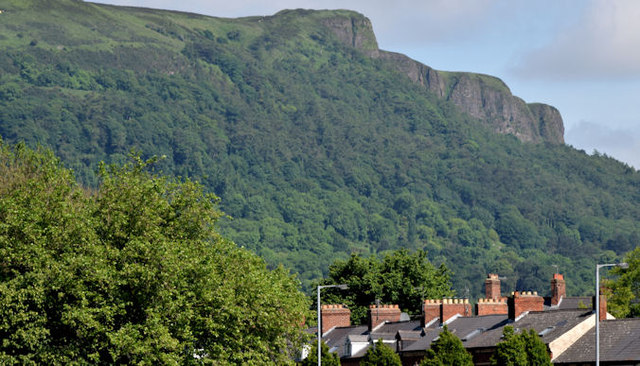 Cave HillCliff · 1.7 mi
 CavehillMountain / peak · 1.8 mi
 CASTLE (unlocated) in BallyvastonCASTLE (unlocated) · 2.1 mi
 Millennium MilepostVisitor information · 2.1 mi