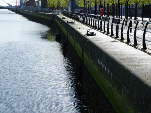
What is recorded here
Ashlar granite quay wall, erected c.1870, with ashlar granite coping. Cast-iron mooring hooks and mooring rings. Timber fenders to north of B. J. Marine building. Granite steps with cast-iron railings. Stone setts and inset cast-iron rails to campshire. Raised in height to east and west of Samuel Beckett Bridge as part of recent works.
Sir John Rogerson’s Quay was laid out in the early eighteenth century. It consisted of two parallel stone faces, the space in between filled with material dredged from the Liffey. It was the most ambitious of the privately funded quay developments of the period. It runs from Creighton Street towards Ringsend, where it turns at a right angle at the River Dodder. It is depicted on Brooking’s map of 1728, showing the quay lined with gable-fronted buildings, with the land behind ‘as yet inundated by the tides’. Rocque’s map of 1756 depicts a more varied mix of uses with buildings and yards, likely associated with maritime trades such as ship building and provisioning. The end of the eighteenth century saw the completion of the quay, and the start of residential development on streets laid out to its south. The quay walls were rebuilt on two occasions, once in the 1820s and again in 1869, as part of the deepening of the channel along this part of the River Liffey. The quay served an important function, allowing ships to draw alongside for loading and unloading, and is a notable reminder of the maritime heritage of the city. It is well-executed in ashlar granite, attesting to the high level of skill and artisanship employed in its construction and in civil engineering at the time.
This does not grant access. Most recorded buildings are privately owned; view them only from public ground unless the owner allows entry.
Places near here
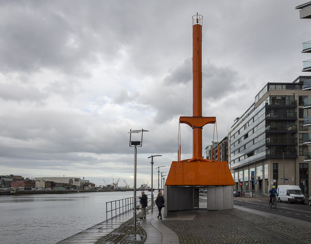 Dublin Port Diving Bell and Visitors CentreHeritage attraction · 21 yd
 Diving Bellmachinery · 22 yd
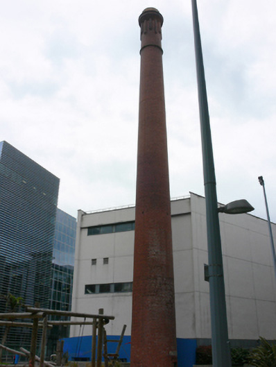 chimneychimney · 155 yd
 Samuel Beckett BridgeVisitor information · 221 yd
 The Convention Centre DublinHeritage attraction · 270 yd
 ConciergeVisitor information · 437 yd
 Quay in Unknown TownlandQuay · 451 yd
 PaulMemorial · 542 yd
 Martin DohertyMemorial · 560 yd
 IndicatedSettlement cluster · 836 yd
 Burning of the Custom Housearmed conflict · 1120 yd
 Oriental planeOriental plane · 1246 yd
Other information
Photo: National Inventory of Architectural Heritage · Website use allowed for educational or private purposes with source credit