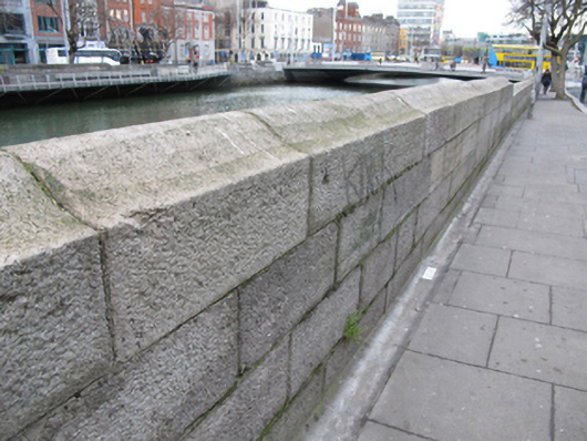
What is recorded here
Dressed ashlar granite quay wall, erected c.1820, with bell-profile coping. Cast-iron ladders and remains of timber and cast-iron mooring fixtures. Culverted River Stein flows into River Liffey to north elevation of wall.
The area of Burgh Quay was slob land in the early years of the eighteenth century, until William Mercer received a grant to infill and create what became George’s Quay and Burgh Quay. The Wide Street Commission created a continuous street along the south side of the river in 1820 by removing intervening houses and constructing the cut stone quay walls. This quay wall serves an important practical function in supporting the raised river bank, and is a notable reminder of the civil engineering heritage of the city. Its execution in ashlar granite attests to the high level of skill and artisanship employed in its construction. It forms a significant part of Dublin’s historic urban fabric.
This does not grant access. Most recorded buildings are privately owned; view them only from public ground unless the owner allows entry.
Places near here
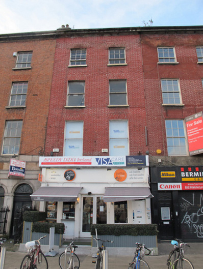 Jaffa Deli/ Speedy India Ireland/ Visa Care Globalhouse · 29 yd
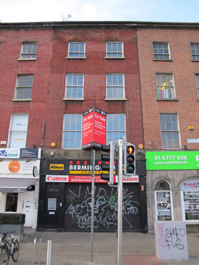 Birmingham Camerashouse · 30 yd
 Padraig Sheahan MemorialMemorial · 40 yd
 Burial in Unknown TownlandBurial · 123 yd
 Spanish Civil War International BrigadeMemorial · 152 yd
 SolartGallery · 170 yd
 Daniel O'ConnellMonument · 175 yd
 Custom House Visitor CentreHeritage attraction · 301 yd
 Burning of the Custom Housearmed conflict · 308 yd
 1GQVisitor information · 353 yd
 Oriental planeOriental plane · 390 yd
 Bigleaf MapleBigleaf Maple · 397 yd
Other information
Photo: National Inventory of Architectural Heritage · Website use allowed for educational or private purposes with source credit