What is recorded here
This is a hachured feature marked on the 1948 revision of the OS 6-inch map. It was not visited but cartographic evidence suggests that it is a possible quarry pit or hollow. As it is of post-AD 1700 date it does not come within the remit of the Archaeological Survey of Ireland.
Compiled by: Olive Alcock
Date of upload: 17 July 2014
The monument record does not grant public access. Check the route and ask the landowner before entering private land.
- What survives
- Recorded monument
Places near here
 Enclosure in LowvilleEnclosure · 814 yd
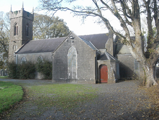 Saint Catherine's Church (Ahascragh)church/chapel · 846 yd
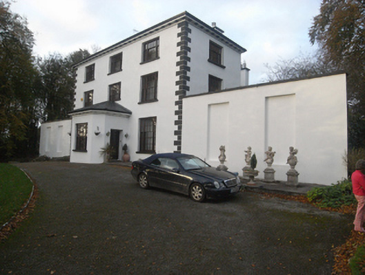 The Old Rectoryrectory/glebe/vicarage/curate's house · 899 yd
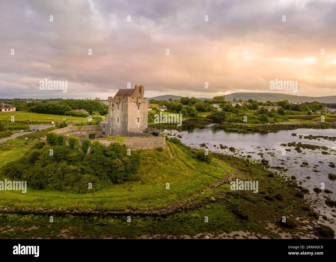 LisnarnooFairy fort / ringfort · 1002 yd
 LismoneyForest · 1.3 mi
 European ashEuropean ash · 1.4 mi
 Killure Castle (in ruins)Castle, tower house · 2.2 mi
 Clonbrock CastleCastle, tower house · 2.8 mi
 Clooncoran IslandIsland · 3.5 mi
 Inch IslandIsland · 5.0 mi
 Kilconnell AbbeyHeritage attraction · 5.3 mi
 Battle of Aughrim Interpretative CentreMuseum · 6.2 mi