What is recorded here
Listed as ‘Enclosure’ in the SMR (1992) and the RMP (1996). A small quarried area is hachured on the 1923 ed. of the OS 6-inch map and is hachured and named ‘Quarry’ on the OS 25-inch map. On inspection in 2002 this was confirmed. The quarry, a large depression (24m N-S; 46m E-W; D up to 4m) is now used for dumping earth.
Compiled by: Mary Tunney
Date of upload: 16 December 2014
The monument record does not grant public access. Check the route and ask the landowner before entering private land.
- What survives
- Recorded monument
Places near here
 Enclosure in KnockaloughEnclosure · 1321 yd
 Enclosure in Crag (clonderalaw By.)Enclosure · 1.3 mi
 Knockalough Castle (in Ruins)Castle, unclassified · 1.9 mi
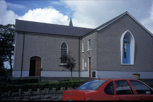 Catholic Church of Saint Michael the Archangelchurch/chapel · 3.0 mi
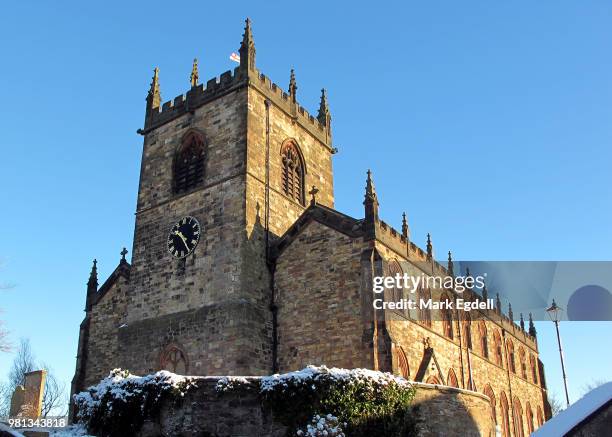 St Michaels Church (in Ruins)Church · 3.0 mi
 Cahermurphy Castle (in Ruins)Castle, tower house · 3.0 mi
 SlievecallanMountain / peak · 7.2 mi
 Crag WoodWood · 7.6 mi
 Clonderalaw BayBay · 8.5 mi
 St Senan's WellSpring · 9.7 mi
 Kilcorcoran Grave YardArchaeological place · 9.7 mi
 Monterey CypressMonterey Cypress · 10 mi