What is recorded here
Listed as ‘Enclosure’ in the SMR (1992) and the RMP (1996). Named on the OS 25-inch map (1895) as ‘Clay pit (disused)’ and indicated as a pit on the 1918 OS 6-inch map. On inspection in 1998 this was verified as a disused gravel pit. Compiled by: Mary Tunney Date of upload: 14 October 2014
The monument record does not grant public access. Check the route and ask the landowner before entering private land.
- What survives
- Recorded monument
Places near here
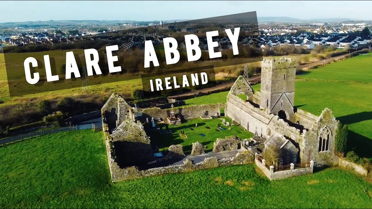 Enclosure in FreaghavaleenEnclosure · 1305 yd
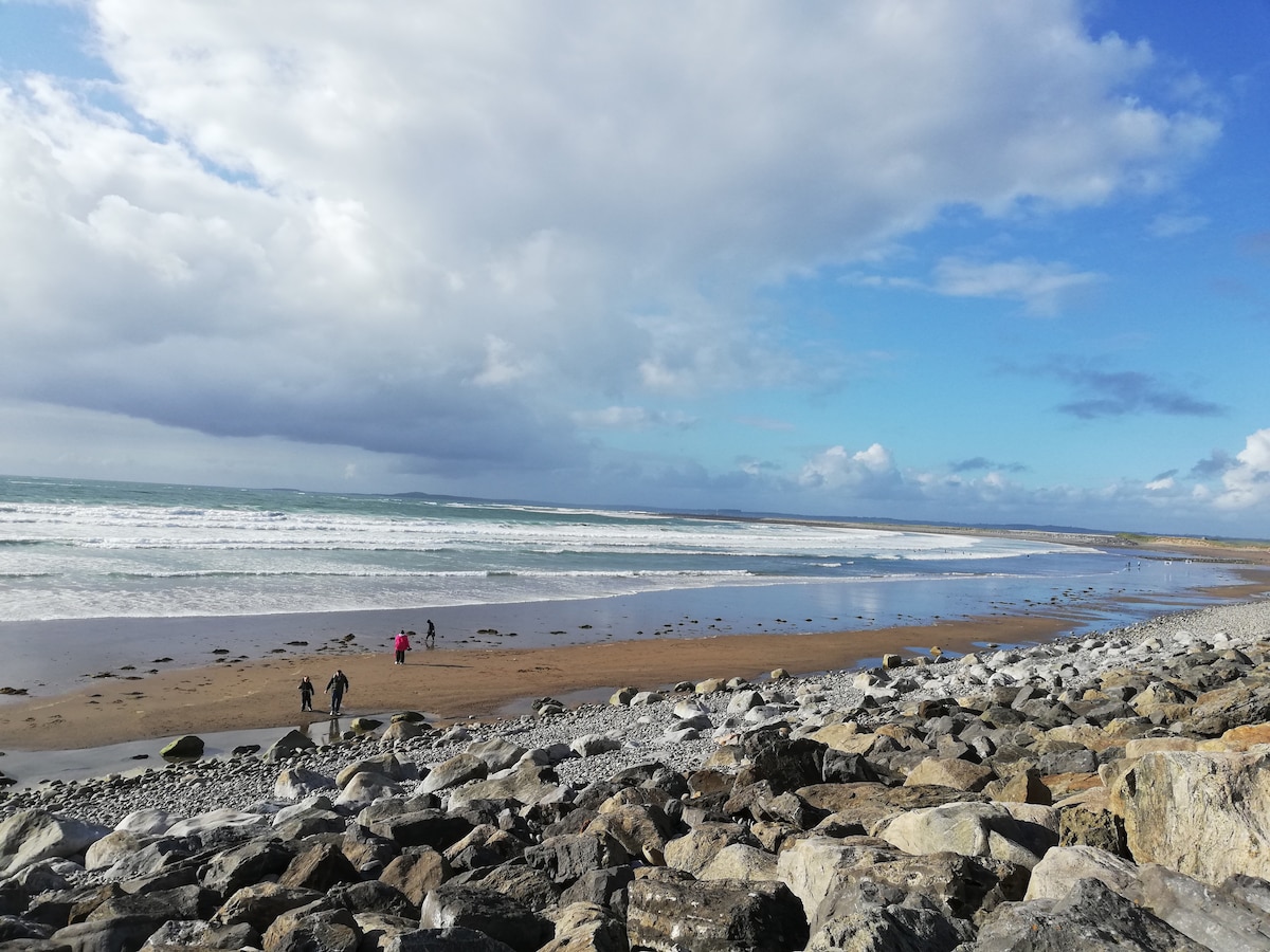 Enclosure in Ballyvaskin SouthEnclosure · 1421 yd
 Liscannor BayBay · 1.3 mi
 Kilfarboy Church (in Ruins)Church · 1.6 mi
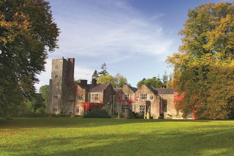 Freagh CastleRuins · 1.9 mi
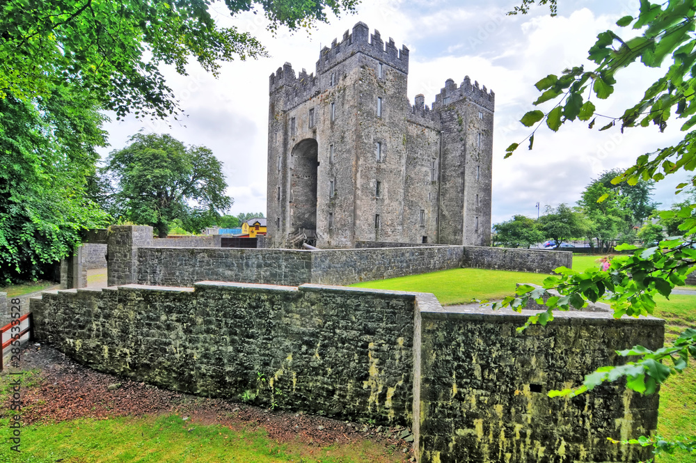 Freagh Castle (in Ruins)Castle, tower house · 1.9 mi
 Freagh PointHeadland · 1.9 mi
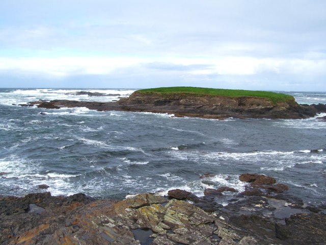 Freagh IslandIslet · 2.0 mi
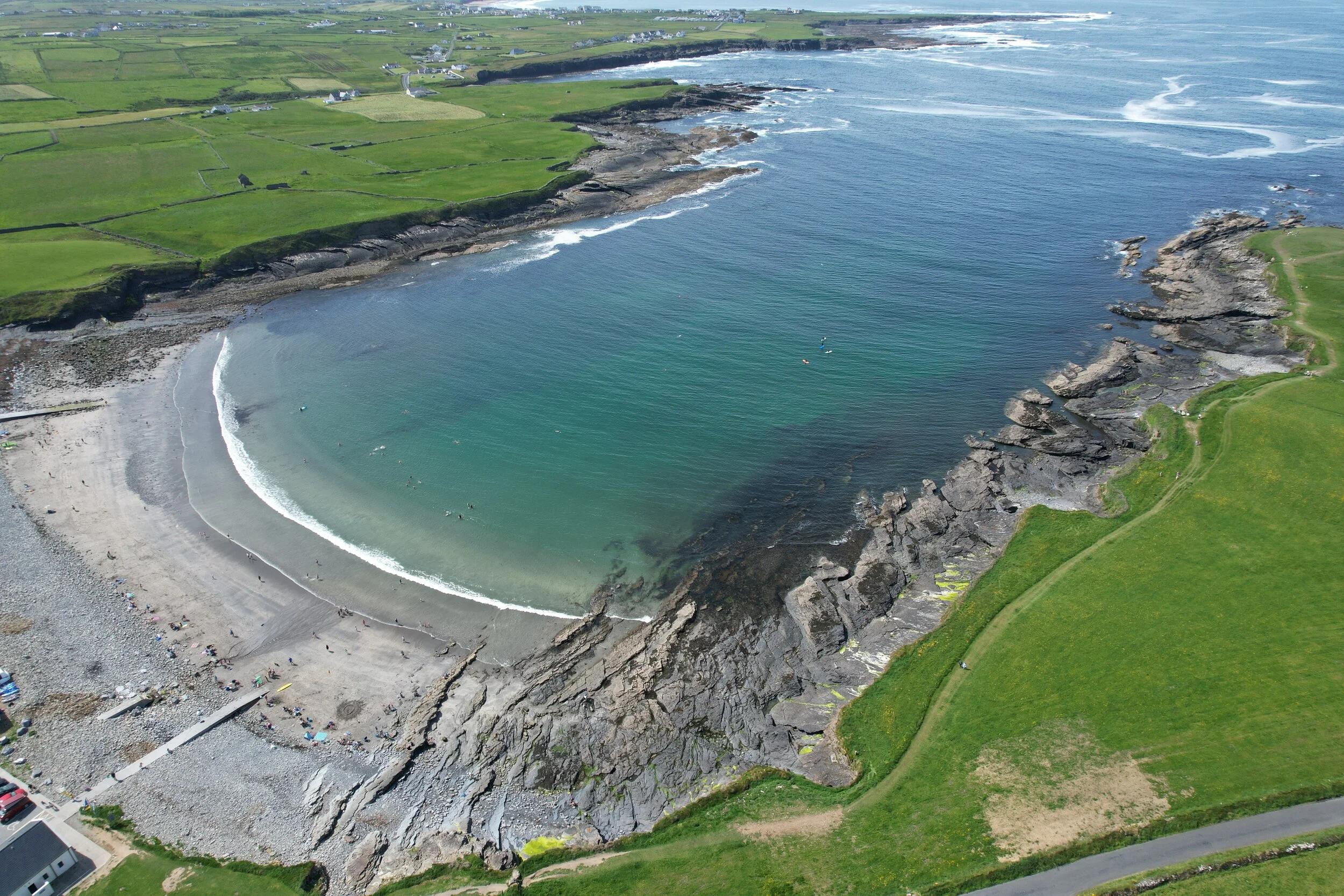 White StrandBeach / strand · 2.1 mi
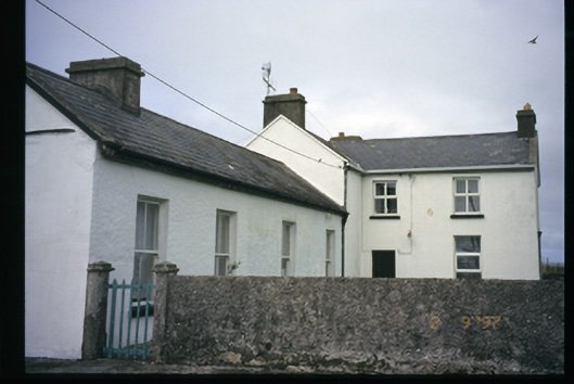 Station Houserailway station · 2.2 mi
 Kilcorcoran Grave YardArchaeological place · 2.5 mi
 The Music Makers of West ClareMuseum · 2.6 mi