What is recorded here
Listed as ‘Earthwork’ in the SMR (1992) and the RMP (1996). A small subcircular hachured area is indicated on the 1923 ed. of the OS 6-inch map. On inspection in 2003 this was found to be a small subcircular hollow (D up to 2m; 15m N-S; 18m E-W) that had evidently been quarried.
Compiled by: Mary Tunney
Date of upload: 16 December 2014
The monument record does not grant public access. Check the route and ask the landowner before entering private land.
- What survives
- Recorded monument
Places near here
 Promontory fortPromontory fort, coastal · 1491 yd
 LisroeFairy fort / earthen ringfort · 1623 yd
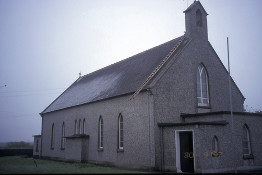 Saint Senan's Catholic Churchchurch/chapel · 1747 yd
 Church in TullaherChurch · 1.1 mi
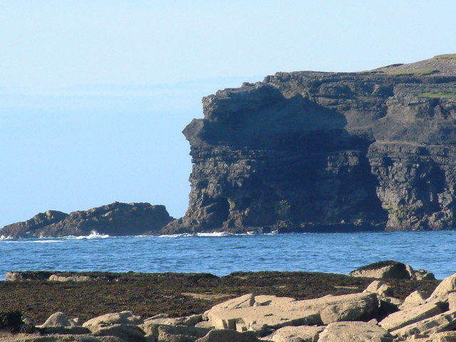 George's HeadHeadland · 2.3 mi
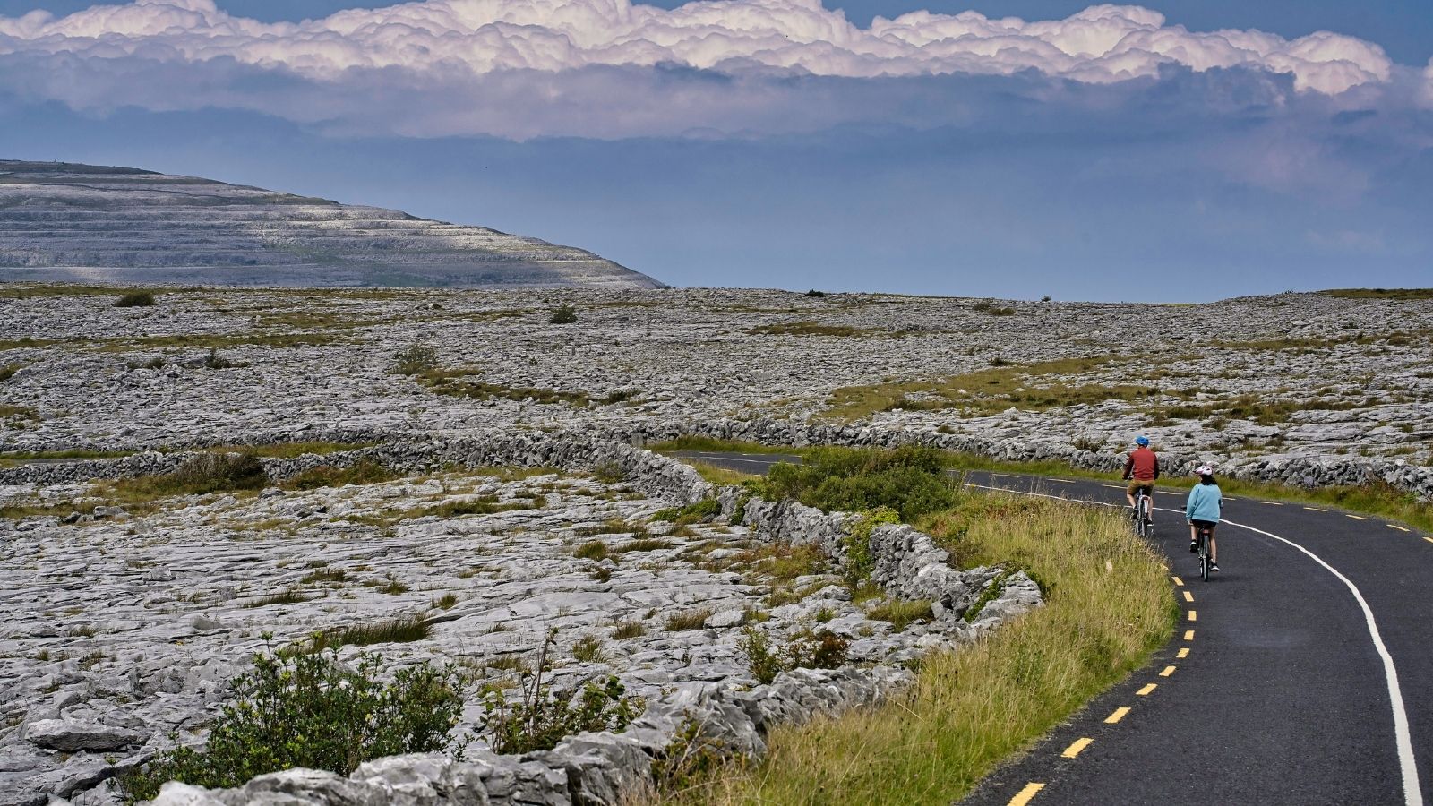 CarrichnaclearaHeadland · 2.4 mi
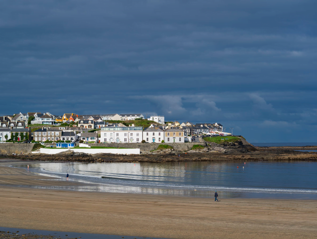 Castle (Site of)Castle, tower house · 2.8 mi
 Diamond RockHeritage attraction · 2.8 mi
 Kilkee CliffsViewpoint · 3.5 mi
 IllaunawhillaIslet · 3.7 mi
 White StrandBeach / strand · 3.8 mi
 Doonmore CastleRuins · 3.8 mi