What is recorded here
A hachured feature marked on the 1933 edition of the OS 6-inch map proved on inspection in 1983 to be a quarry. As it is of post-AD 1700 date it does not come within the remit of the Archaeological Survey of Ireland.
Compiled by: Olive Alcock
Date of upload: 11 August 2014
The monument record does not grant public access. Check the route and ask the landowner before entering private land.
- What survives
- Recorded monument
Places near here
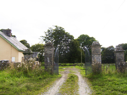 Ballydoogan Housegates/railings/walls · 299 yd
 Quarry in BallydavidQuarry · 827 yd
 Leaght LiocanLeacht · 1515 yd
 Kilcooly Castle (in ruins)Castle, tower house · 1733 yd
 Drought Castle (in Ruins)Castle, tower house · 1.1 mi
 Dartfield Horse MuseumHeritage attraction · 1.1 mi
 Field system in BallynahistilField system · 1.1 mi
 Long PointHeadland · 3.8 mi
 Stone Islands SouthIslet · 3.9 mi
 Bush IslandIslet · 3.9 mi
 Turoe StoneHeritage attraction · 4.6 mi
 Quarryhill WoodWood · 6.6 mi