
What is recorded here
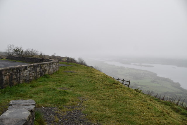
Doagh Glebe holds a promontory fort from the Iron Age, when people understood that height and edge could replace a wall. The land itself becomes the guardrail, pushing back water, danger or simply the ordinary world. A scheduled site keeps that ancient choice alive, preserving the moment when human hands decided the cliff was strong enough to trust.
The official Northern Ireland record identifies this as PROMONTORY FORT. Recorded period: IRON AGE; PREHISTORIC. Recorded protection: Scheduled. The official map point was placed at the centre of the recorded archaeological site from the source map reference.
The monument record does not grant public access. Check the route and ask the landowner before entering private land.
- What survives
- Recorded monument
Places near here
 Correl Glen (National Nature Reserve)Wood · 1.8 mi
 Carrick Lough CrannógIslet · 2.2 mi
 Carrick Church (Ruins)Ruins · 2.2 mi
 HOLY WELL: TOBERNASUIL in AghamoreHOLY WELL: TOBERNASUIL · 2.3 mi
 Big DogMountain / peak · 2.8 mi
 Tullycarbry ForestForest · 2.8 mi
 Orange HallHall · 3.1 mi
 Old Man's HeadHeritage attraction · 3.2 mi
 CarriganMountain / peak · 3.6 mi
 C17TH SETTLEMENT: CHURCHILL in Drumenagh BegC17TH SETTLEMENT: CHURCHILL · 3.7 mi
 Cliffs of MaghoViewpoint · 3.9 mi
 Tully CastleCastle · 4.8 mi
Other information
Photo: Credit not shown in the picture search · Rights wording not checked; contact us if this picture should be removed