What is recorded here
Kilmore in County Kerry still holds a wedge-shaped headland where a straight bank and fosse once bit across the neck. The sea has since torn the cliff face and swallowed most of the fort, leaving only a faint line in fertile pasture. Whatever stood there has become a ghost in the grass, visible only when the wind strips the topsoil or a person walks the edge at low tide.
The precise location of a possible promontory fort in the townland of Kilmore has not been identified. Earthwork described in 2002 as follows; ‘A northwest-facing broad wedge-shaped headland shows slight evidence of having been defended by a straight bank and fosse across its neck. Recent erosion along the cliff face and on the headland suggests that the headland was once much larger than the remains suggest. The site was not yet visited on the ground. The area is one of fertile pasture' (Casey 2002, 57, no. Y).
The monument record does not grant public access. Check the route and ask the landowner before entering private land.
- What survives
- Recorded monument
Places near here
 Seven ChurchesArchaeological place · 215 yd
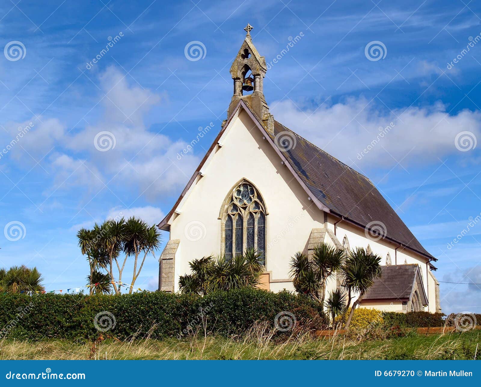 Church in Kilmore (clanmaurice By.)Church · 231 yd
 Bastioned fort in Kilmore (clanmaurice By.)Bastioned fort · 429 yd
 Clashmealcon CavesCave · 1626 yd
 Long StrandBeach / strand · 1.5 mi
 RoadRoad, road/trackway · 1.7 mi
 CastleCastle, tower house · 1.9 mi
 Crazy GolfHeritage attraction · 2.3 mi
 PulleenIslet · 2.4 mi
 Men's BeachBeach / strand · 2.5 mi
 Pierce's IslandIslet · 2.7 mi
 Ballybunion Cliff PathWalking route · 2.9 mi