What is recorded here
Identified from an aerial survey by Markus Casey who described this monument as a S-facing promontory (L 55m; max. Wth 37m) with a narrow neck (Wth 9m) defended by a wide fosse (Wth 4m; D 1.25m) cutting it off from the mainland. A vague rise in ground level on either side of the fosse suggests the remains of earthen banks. A land commission earthen field boundary along the cliff edge runs through the fosse and a slight rise in the level of the base of the fosse towards the centre may be the remains of a causeway. The fosse seems to continue down the cliff face on the W. Surrounded by steep grassy slopes to the sandy shore below. The interior undulated gently and is featureless. Evidence of recent erosion on all sides of the headland. The area is one of fertile grazing with an unimproved strip of land along the cliff edge. (Casey 2001)
Compiled by: Jean Farrelly
Date of upload: 24 November 2021
The monument record does not grant public access. Check the route and ask the landowner before entering private land.
- What survives
- Recorded monument
Places near here
 Garrarus StrandBeach / strand · 436 yd
 Site of Ancient Irish DwellingHut site · 753 yd
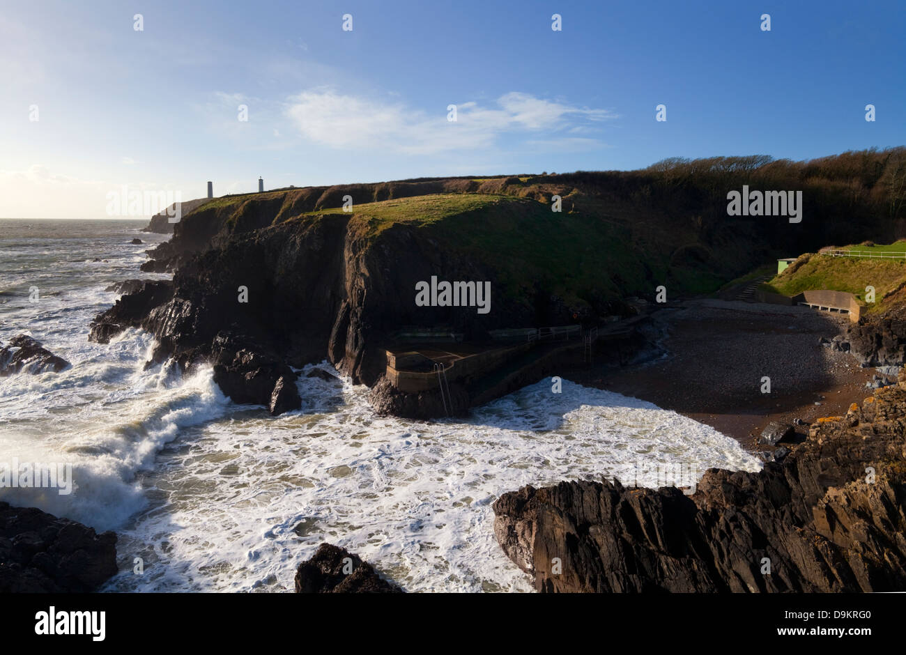 EntrenchmentPromontory fort, coastal · 783 yd
 Kilfarrasy BeachBeach / strand · 1607 yd
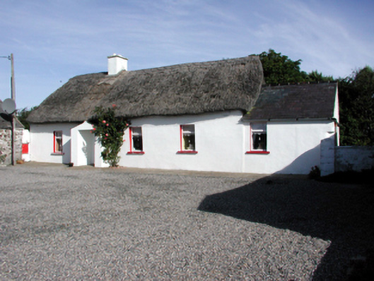 Historic buildingOfficially recorded historic building · 1.2 mi
 Church in KilfarrasyChurch · 1.3 mi
 The Metal ManHeritage attraction · 1.6 mi
 Newtown WoodsWood · 1.8 mi
 Fenor BogNature reserve · 2.2 mi
 Ballyscanlon HillMountain / peak · 2.3 mi
 Lime KilnVisitor information · 2.6 mi
 Doneraile WalkWalking route · 2.7 mi