What is recorded here
Sherkin Island still holds a sub-rectangular promontory where a late medieval fortification narrowed the coastal neck. Westropp saw a silted fosse cutting across that throat in 1914, but erosion and overgrowth have since swallowed the section. The sea did not erase the choice of place; it changed the shape of the warning.
Sub-rectangular promontory on E side of Sherkin Island occupied by remains of late medieval fortification (CO149-018002-). Westropp (1914, 108) noted silted-up fosse, just in front (to W) of curtain wall, accross neck of promontory, evident in section face at either end; fosse section no longer visible due to overgrowth and erosion.
The above description is derived from the published 'Archaeological Inventory of County Cork. Volume 1: West Cork' (Dublin: Stationery Office, 1992). In certain instances the entries have been revised and updated in the light of recent research.
Date of upload/revision: 14 January 2009
The monument record does not grant public access. Check the route and ask the landowner before entering private land.
- What survives
- Recorded monument
Places near here
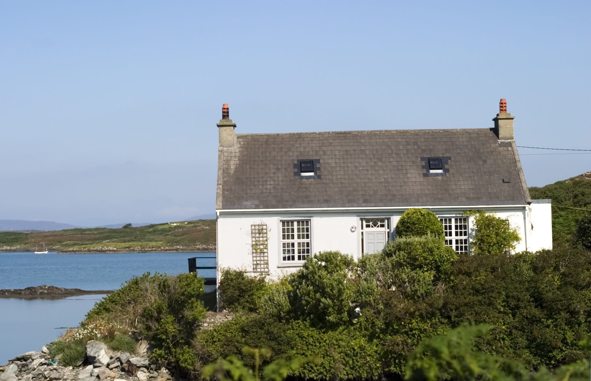 Bawn in Farranacoush (sherkin Island)Bawn · 23 yd
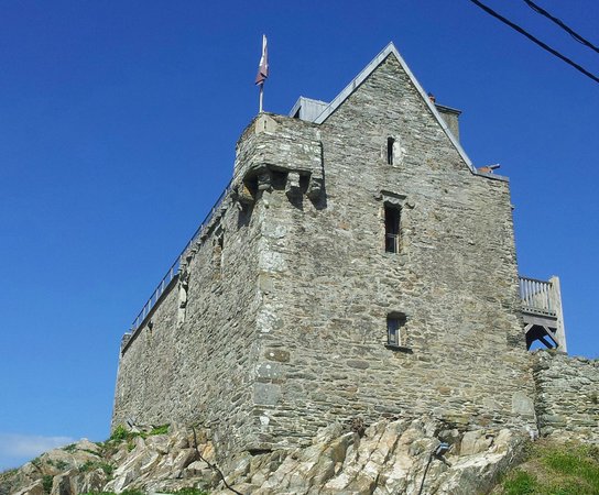 Dún na Long CastleRuins · 36 yd
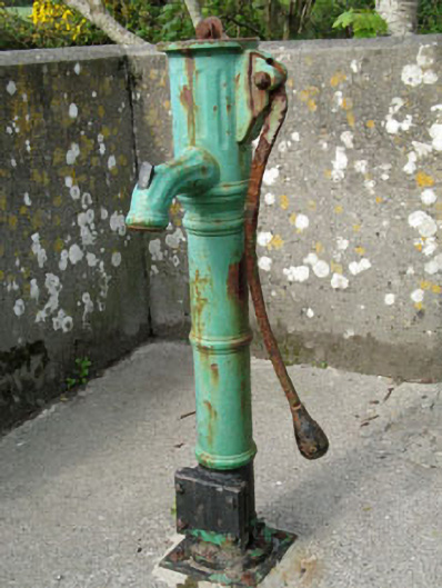 water pumpwater pump · 152 yd
 Abbey (in Ruins)Religious house, Franciscan friars · 289 yd
 Holy well in Kilmoon (sherkin Island)Holy well · 1038 yd
 Beacon PointViewpoint · 1100 yd
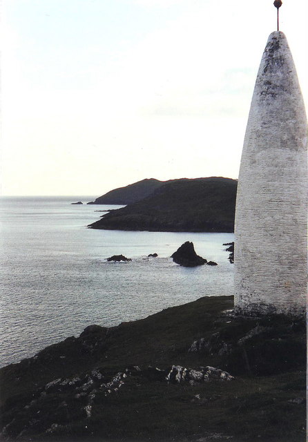 The Beaconbeacon · 1117 yd
 Baltimore BeaconNavigational beacon · 1182 yd
 Burial ground in BaltimoreBurial ground · 1202 yd
 Sherkin IslandIsland · 1463 yd
 Cow StrandBeach / strand · 1.0 mi
 Spanish IslandIsland · 1.1 mi