What is recorded here
Six headlands south of Dún an Óir still wear faint neck-cutting banks and ditches, suggesting people once trimmed the coast into defensible points. The northernmost two keep low earthen ridges and a levelled drystone wall, while the southernmost holds a curving filled ditch. The middle two show newer banks beside vague older marks. Together they form a coastal strip where human hands may have shaped the land into fortlike places, though the sea and time have erased most of the proof.
Possible promontory fort described in 2002 as follows; 'A series of six headlands along the coast south of Dún an Óir all show very slight evidence of having been cut off from the mainland by either earthen banks or ditches. The two northernmost ones have low earthen banks and a levelled drystone wall crossing the neck. The adjacent broad rectangular one has the remains of a wide levelled straight bank and faint fosse across the neck while the southernmost one has a slightly curving filled-in fosse defending it. Recent earthen banks cut off the middle two, but vague evidence of earlier defences is also visible. Not enough remains to ascertain the exact nature of the remains but all headlands are potential promontory forts that deserve further investigation' (Casey 2002, 68 DD).
The monument record does not grant public access. Check the route and ask the landowner before entering private land.
- What survives
- Recorded monument
Places near here
 Dunanoir FortVisitor information · 208 yd
 Dún an ÓirArchaeological place · 212 yd
 DunorePromontory fort, coastal · 223 yd
 Faill an AirseCliff · 507 yd
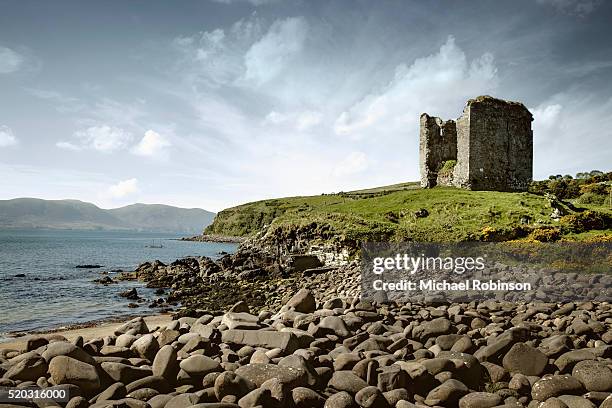 Faill an tSrutháinCliff · 763 yd
 Tráigh Bhéal BánBeach / strand · 869 yd
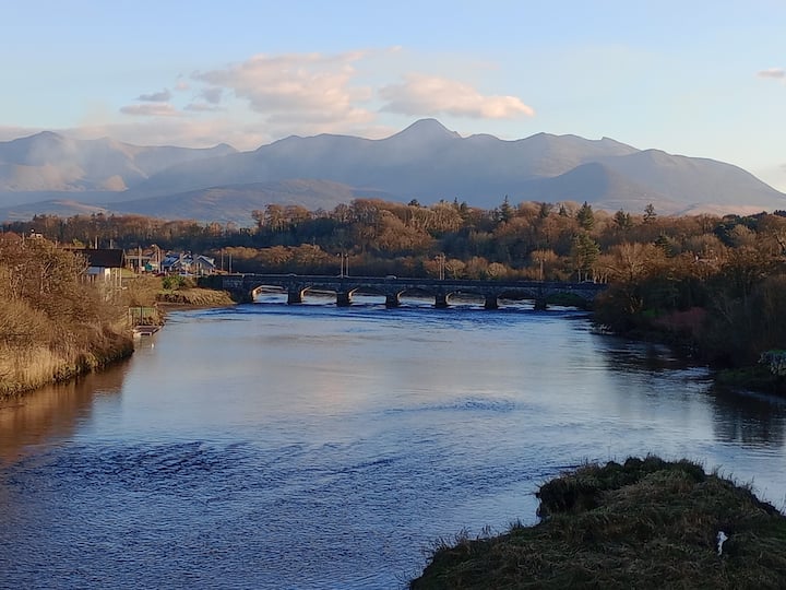 Binn MheánaighMountain / peak · 1706 yd
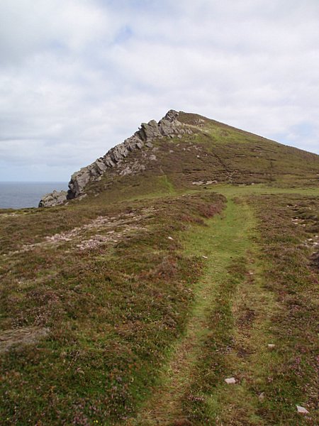 Binn DiarmadaMountain / peak · 1.3 mi
 Trá an FhíonaBeach / strand · 1.3 mi
 Músaem Chorca DhuibhneMuseum · 1.6 mi
 Séipéal Uinseann Naofa [Saint Vincent's Catholic Church]church/chapel · 1.6 mi
 Penitential station in Baile An ChalaidhPenitential station · 1.8 mi