What is recorded here
Doneen Pier may have borrowed its name from the headland, but the fort itself has nearly vanished beneath pasture and modern field banks. Two grassy islets appear only at low tide, hints that the cliff was once broader and the defence stronger. What remains is a low southwest-facing neck of earth where erosion has sanded the edges of human intention.
Possible promontory fort described in 2002 as follows; ‘A low-lying southwest-facing short broad headland shows faint signs of an earlier bank and associated fosse crossing the neck. Two small grassy islets are accessible only at low water and they suggest that the headland was once larger. A modern earthen field bank has topped the earlier enclosing element and faint remains of a bank around the perimeter shows evidence of recent erosion. The shore is accessible from the interior with some difficulty. The immediate area is one of gently undulating fertile pasture divided by drystone walls. A disused roadway runs along the cliff edge. Several similar headlands nearby are also suitable for defence but no indication of early remains can be seen. It is possible that this headland gave its name to the nearby Doneen Pier. The insignificant remains on this headland means it remains in the list of possible defended headlands’ (Casey 2002, 12, no. A).
The monument record does not grant public access. Check the route and ask the landowner before entering private land.
- What survives
- Recorded monument
Places near here
 Cuan Ard na CaithneBay · 560 yd
 Enclosure in An Mhuiríoch (tc Cill Maoilchéadar)Enclosure · 1372 yd
 LismoreArchaeological place · 1373 yd
 Séipéal Bhréanainn [Saint Brendan's Catholic Church]church/chapel · 1752 yd
 Trá an FhíonaBeach / strand · 1.3 mi
 Faill na MúCliff · 1.4 mi
 Murreagh Church (Kilmalkedar)church/chapel · 1.4 mi
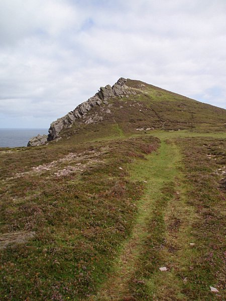 Binn DiarmadaMountain / peak · 1.5 mi
 Tráigh Bhéal BánBeach / strand · 1.6 mi
 Dunanoir FortVisitor information · 1.6 mi
 Gallarus Castle (in ruins)Castle, tower house · 1.7 mi
 Gallarus CastleCastle · 1.7 mi