
What is recorded here
Promontory fort stands on a narrow Mayo headland where three faded earthen banks still guard a rectangular strip of land flanked by steep cliffs. The defences have worn to low round ridges, yet the natural cleft along the northwest edge and the cliff itself complete the trap. A modern path crosses the only remaining entrance causeway, inviting visitors to walk the same narrow neck that erosion has since shortened. The site feels less like a ruined monument and more like a coastal chamber where the sea does most of the guarding.
Situated along the indented coastline of N Mayo in an area of hilly bog land and coarse grazing. The view from the site along the coast is excellent. A rectangular NW facing headland flanked by steep cliffs is defended by a series of three earthen banks and two ditches, now much defaced. The site measures 35m long by 18m wide. The banks average 1.9m wide and only 0.35m above ground level. They are round topped and the intervening ditches average 1.1m wide. The inner face of the innermost bank has been reduced to a scarp, and the defences are only 7m long. A modern path runs along the NE cliff edge across an artificial causeway. This is the only indication of an original entrance. The defences are partly obscured by vegetation. The interior is level. A 1.5m deep natural cleft, 30m long and 1m wide runs along the NW edge. Otherwise the interior is featureless. Traces of an earthen bank running along the cliff edge can be seen outside the site. Some undulations in the ground immediately to the S-E of the defences may be the remains of more earthworks (MA006-002002-), but besides possible traces of a hut-site (MA006-002003-) near the path, no features are clearly visible. The narrowest part of the neck of the headland lies 6m outside the defences, suggesting some erosion has taken place along this coastline since the fortifications were built. This site was not included in Westropp in his list of promontory forts and is not marked on any of the OS maps.
These descriptions are derived from the MA thesis of Markus Casey 1999 The coastal promontory forts of Ireland. A survey of counties Sligo, Mayo, Galway and Clare. Unpublished MA thesis, National University of Ireland, Galway. In this instance the entry has been revised and updated in the light of recent research.
Date of upload: 5 December 2018
The monument record does not grant public access. Check the route and ask the landowner before entering private land.
- What survives
- Recorded monument
Places near here
 Ceide FieldsHeritage attraction · 1.1 mi
 Céide Fields Visitor CentreVisitor information · 1.1 mi
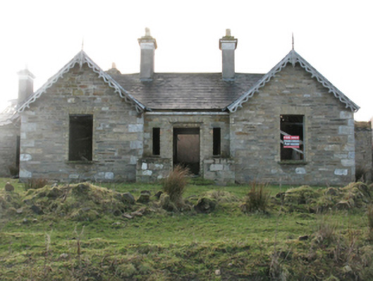 Glenlossera Lodgehunting/fishing lodge · 1.2 mi
 Céide FieldsHeritage attraction · 1.2 mi
 bridgebridge · 1.2 mi
 Enclosure in Gleann LasraEnclosure · 1.6 mi
 BlowholeCliff · 2.0 mi
 Holy well in Doonfeeny LowerHoly well · 2.9 mi
 Ballycastle BeachBeach / strand · 4.2 mi
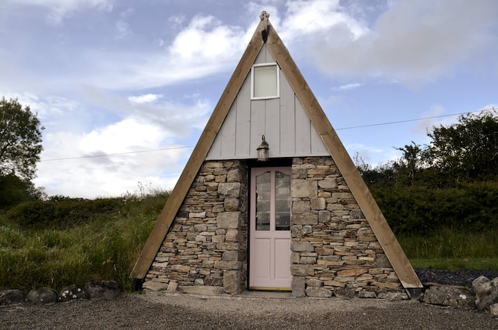 An Tamhnach MhórMountain / peak · 5.0 mi
 Castle (in Ruins)Castle, tower house · 5.9 mi
 Oileán MáistirIslet · 6.4 mi
Other information
Photo: Credit not shown in the picture search · Rights wording not checked; contact us if this picture should be removed