What is recorded here
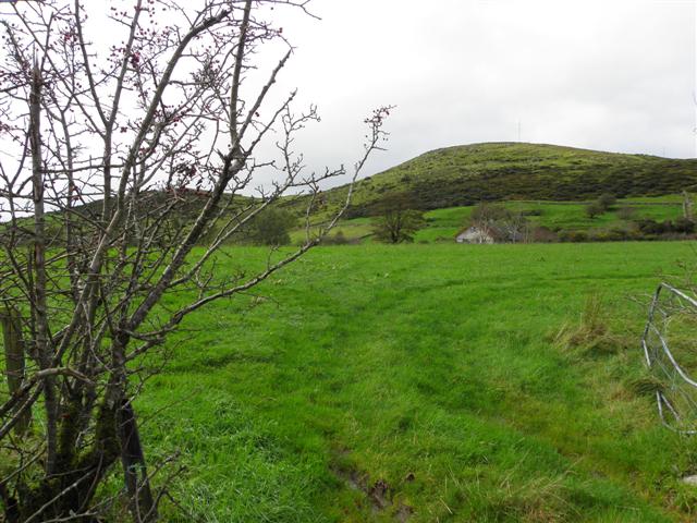
CRANNOG in Ballyroney, County Down, is a probable ancient water management feature rather than an ordinary boundary marker. The name suggests a cut channel or flooded ditch, perhaps made when people redirected rainwater, drained marsh ground or controlled access to land. Its shape may have served several generations before being forgotten, yet it still belongs on the scheduled list because the ground itself preserves the choice humans made with the landscape.
The official Northern Ireland record identifies this as probable CRANNOG. Recorded period: E.CHRIST.. Recorded protection: Scheduled. The official map point was placed at the centre of the recorded archaeological site from the source map reference.
The monument record does not grant public access. Check the route and ask the landowner before entering private land.
- What survives
- Recorded monument
Places near here
 possible CHURCH site: DRUMLYN (unlocated) in Ballyroneypossible CHURCH site: DRUMLYN (unlocated) · 975 yd
 Post OfficeHouse · 983 yd
 Ballyroney Presbyterian ChurchChurch · 1022 yd
 CASTLE & RATH reused as BAILEY: SEAFIN CASTLE; Magh Cobha; Moycove in SeafinCASTLE & RATH reused as BAILEY: SEAFIN CASTLE; Magh Cobha; Moycove · 1135 yd
 The Brontë CentreVisitor information · 1.6 mi
 Ecclesiastical site -possible contender for the "Church of Drumlyn" in AughnavallogEcclesiastical site -possible contender for the "Church of Drumlyn" · 1.6 mi
 CHURCH & GRAVEYARD: DRUMGOOLAND in DeehommedCHURCH & GRAVEYARD: DRUMGOOLAND · 2.4 mi
 KnockiveaghMountain / peak · 2.9 mi
 Deehommed MountainMountain / peak · 3.0 mi
 Knockiveagh Picnic SitePicnic place · 3.2 mi
 The Moat PadWalking route · 3.2 mi
 TOWER-HOUSE: RATHFRILAND CASTLE in RossconorTOWER-HOUSE: RATHFRILAND CASTLE · 3.2 mi