What is recorded here
Priorwell Plantations is shown as a wood on the public map of Fife. The saved point is the map point or the centre of its mapped shape.
This does not grant access. Check current paths, opening conditions and ownership before entering.
Places near here
 Coultra HillCairn (period Unassigned) · 649 yd
 BalmerinoFindspot (21st Century), Harness Pendant (copper Alloy)(medieval) · 695 yd
 Memorial CottagesMemorial · 1301 yd
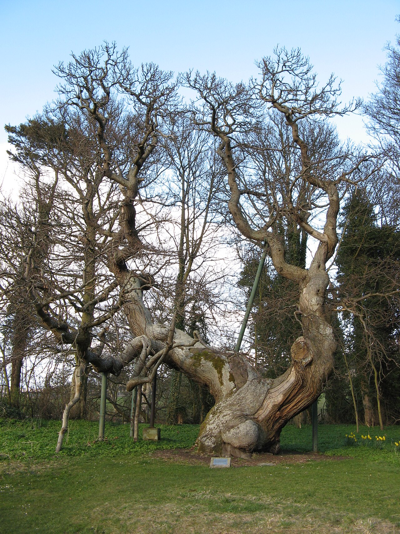 Queen Ermengarde's ChestnutSweet Chestnut · 1394 yd
 Tay MountMountain / peak · 1503 yd
 Balmerino, BridgeMill Dam (period Unassigned), Road Bridge (period Unassigned) · 1544 yd
 Muir Dens CovertWood · 1601 yd
 Balmerino MillGrain Mill (18th Century) · 1655 yd
 CorbiehillMountain / peak · 1.4 mi
 Mountquhanie CastleCastle (medieval), Dovecot (period Unassigned) · 1.5 mi
 Firth of TayBay · 1.6 mi
 Kilmany CemeteryCemetery (20th Century) · 1.6 mi