What is recorded here
Prehistoric rock art in Tully, County Fermanagh dates to the Neolithic period when people first shaped stone tools and settled beside water. The markings may have recorded births, storms, hunts or prayers, turning a ordinary cliff into a shared memory for generations. Whoever chipped or scraped those lines believed the stone could hold human life, and that belief still echoes beneath the moss.
The official Northern Ireland record identifies this as Prehistoric Rock Art. Recorded period: NEOLITHIC. The official map point was placed at the centre of the recorded archaeological site from the source map reference.
Neolithic in date, this rock art likely dates to the 4th to 3rd millennia BCE. Its meaning is unclear, but such art often held ritual or symbolic significance, possibly relating to territorial markers, spiritual beliefs, or storytelling.
The monument record does not grant public access. Check the route and ask the landowner before entering private land.
- What survives
- Recorded monument
Places near here
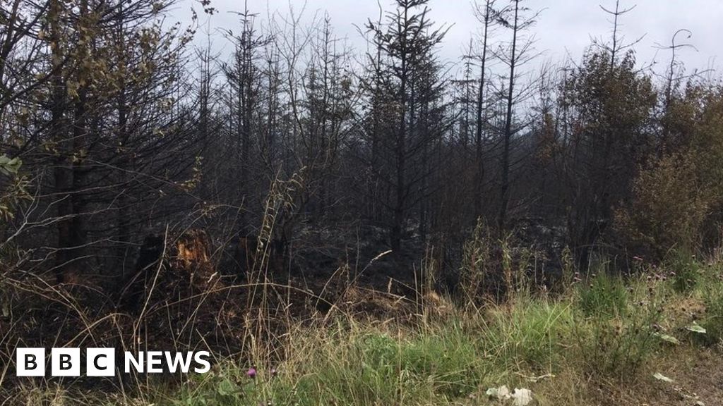 Tully ForestForest · 305 yd
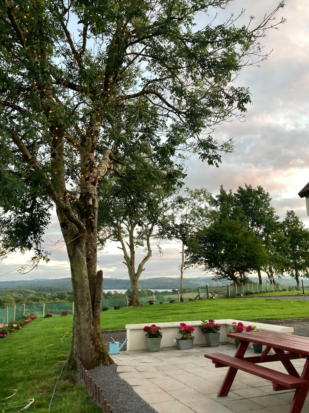 Knocknalosset ForestForest · 1349 yd
 FORTIFICATION in TattycamFORTIFICATION · 1.2 mi
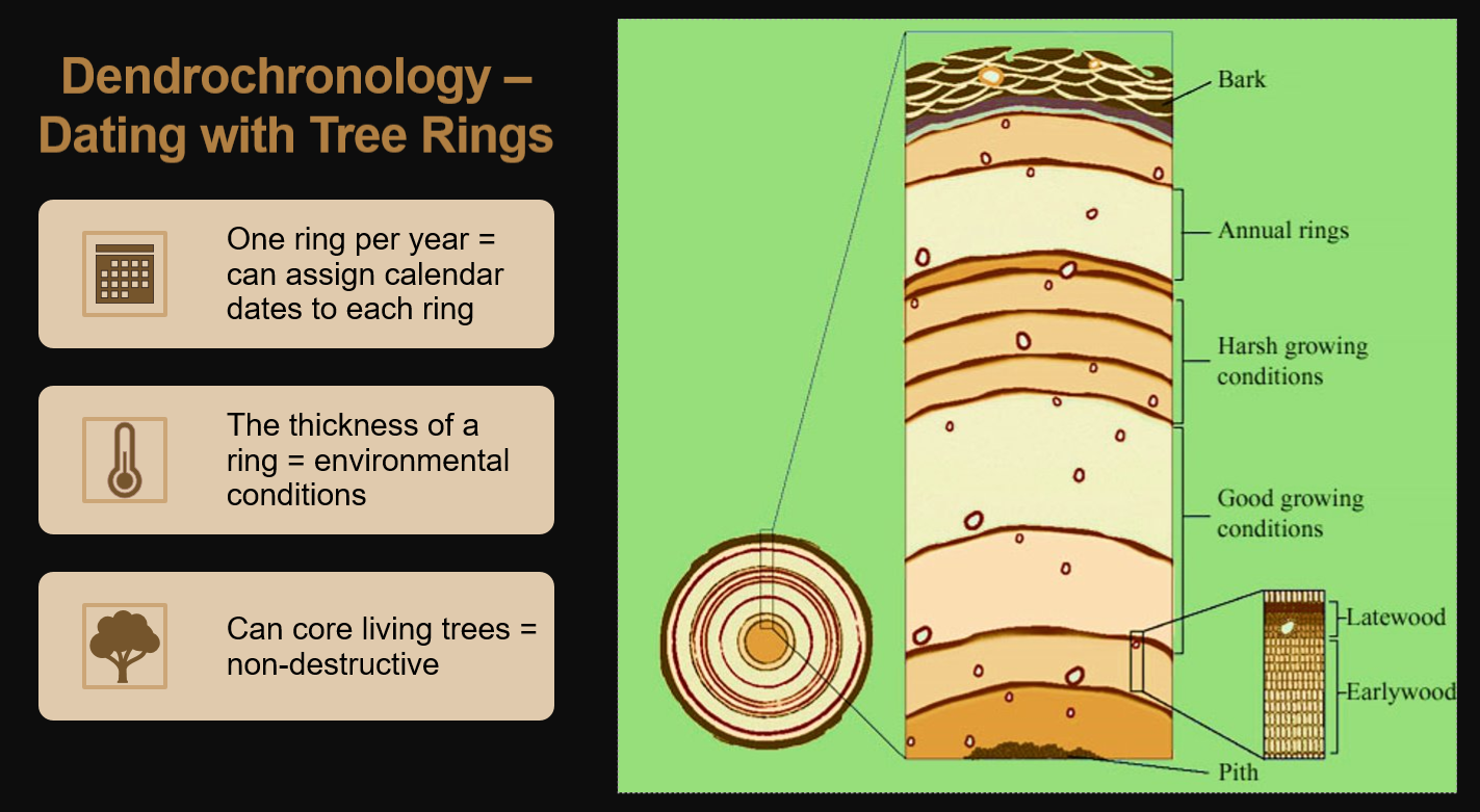 ENCLOSUREENCLOSURE, tree ring? · 1.2 mi
 EschleaghMountain / peak · 1.5 mi
 Rathmoran CastleRuins · 1.7 mi
 Rateen National SchoolRuins · 1.8 mi
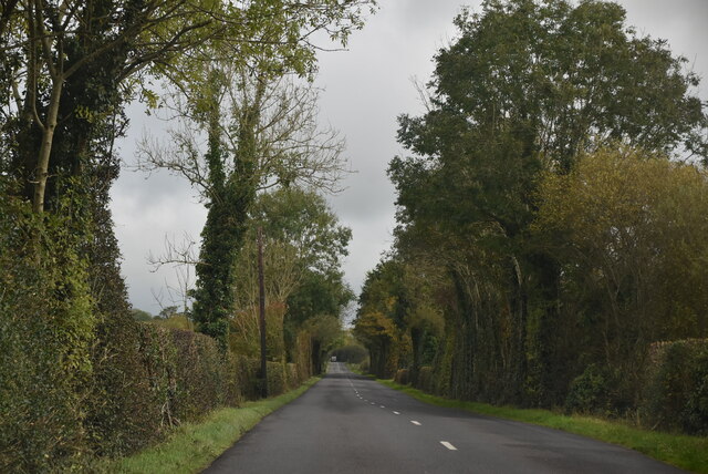 Mount DarbyMountain / peak · 1.8 mi
 GolanRuins · 2.2 mi
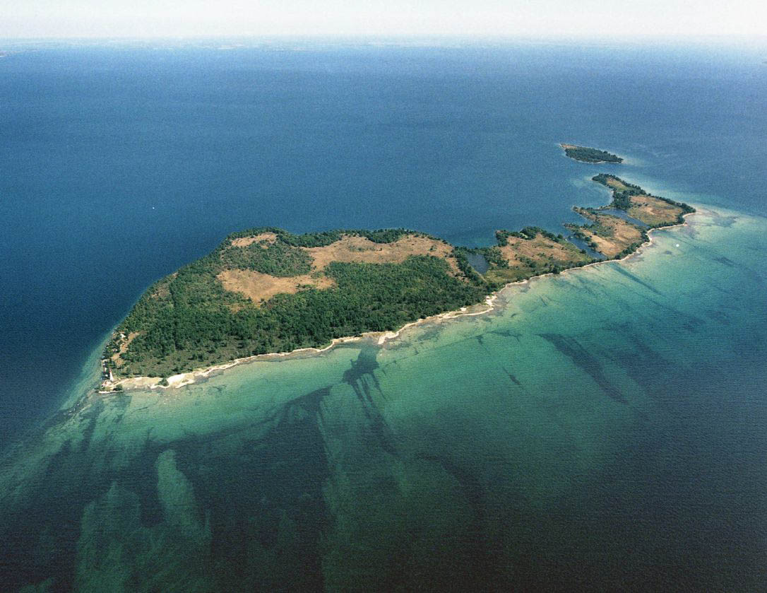 Duck IslandIslet · 2.2 mi
 IRA MemorialMemorial · 3.3 mi
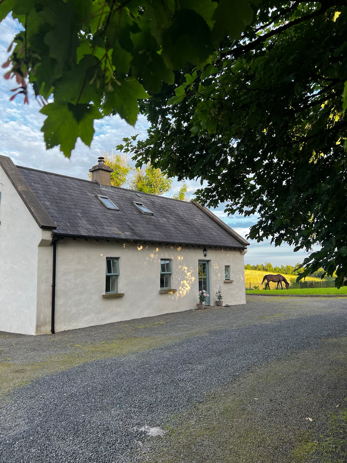 PLANTATION HOUSE & BAWN (unlocated) in LisnashillidaPLANTATION HOUSE & BAWN (unlocated) · 4.2 mi