What is recorded here
The official Northern Ireland record identifies this as Potential Ring Ditches. Recorded period: PREHISTORIC. The official map point was placed at the centre of the recorded archaeological site from the source map reference.
The monument record does not grant public access. Check the route and ask the landowner before entering private land.
- What survives
- Recorded monument
Places near here
 Enclosures and Hut Circles in BallycoosEnclosures and Hut Circles · 703 yd
 RECTANGULAR STONE ENCLOSURE & HOUSE SITES in Drains BogRECTANGULAR STONE ENCLOSURE & HOUSE SITES · 715 yd
 BallycoosMountain / peak · 1156 yd
 Scawt HillMountain / peak · 1666 yd
 Ballygally CastleHeritage attraction · 1.8 mi
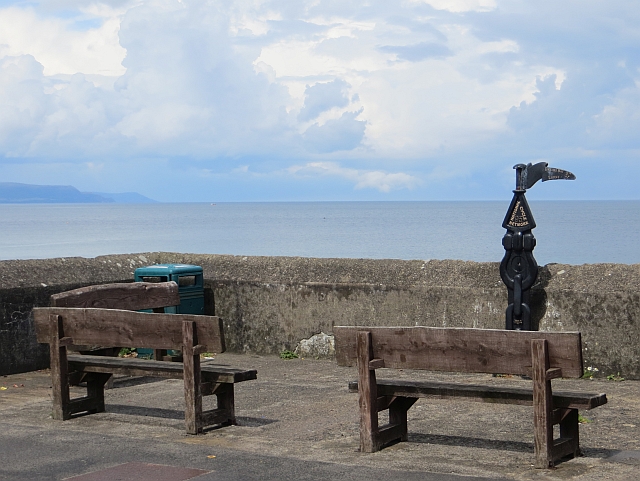 Millennium MilepostVisitor information · 1.9 mi
 CairncastleRuins · 2.4 mi
 Garden TrailWalking route · 2.4 mi
 Ballygalley HeadCliff · 2.5 mi
 Hillmount HouseCastle · 3.1 mi
 Blackcave TunnelTunnel · 3.7 mi
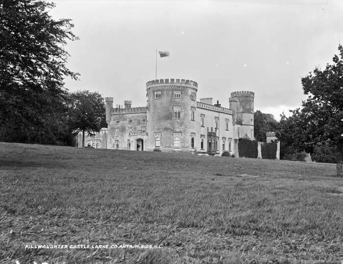 TOWER-HOUSE & BAWN: KILWAUGHTER CASTLE in DemesneTOWER-HOUSE & BAWN: KILWAUGHTER CASTLE · 3.9 mi