What is recorded here
Situated in flat bog. During fieldwalking of this bog a number of toghers were identified in an area 165m N-S x 202m E-W. These were in the process of being destroyed by peat milling (pers. comm. Irish Archaeological Wetland Unit (UCD)).
Compiled by: Jean Farrelly and Caimin O'Brien
Date of upload/revision: 22 September 2008
The monument record does not grant public access. Check the route and ask the landowner before entering private land.
- What survives
- Recorded monument
Places near here
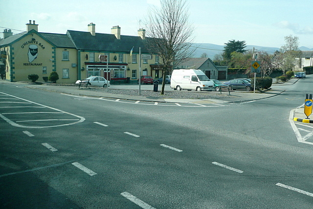 RoadRoad, class 3 togher · 95 yd
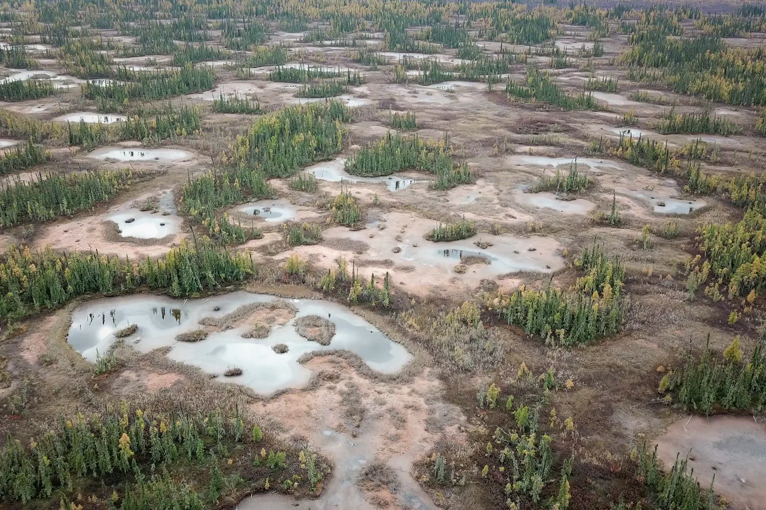 PlatformPlatform, peatland · 117 yd
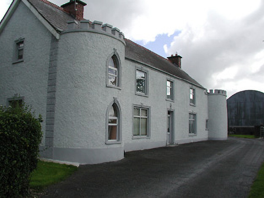 Castle Viewhouse · 1685 yd
 Ballybeg CastleCastle · 1746 yd
 Derrynaflan TrailHeritage attraction · 1.1 mi
 Sweet ChestnutSweet Chestnut · 1.3 mi
 Ballydavid CastleCastle · 1.3 mi
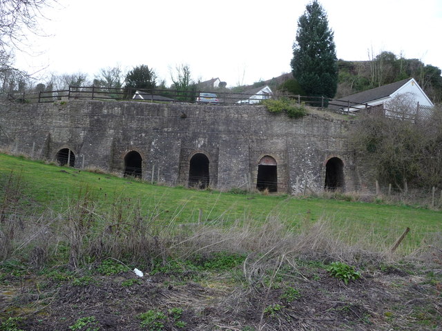 Enclosure in LiskeveenEnclosure · 1.5 mi
 Gobban Saer's GraveArchaeological place · 2.2 mi
 Horse and JockeyVisitor information · 2.2 mi
 European ashEuropean ash · 2.6 mi
 Gift Horse GalleryGallery · 2.8 mi