What is recorded here
The official Northern Ireland record identifies this as Possible trackway. Recorded period: UNCERTAIN. The official map point was placed at the centre of the recorded archaeological site from the source map reference.
The monument record does not grant public access. Check the route and ask the landowner before entering private land.
- What survives
- Recorded monument
Places near here
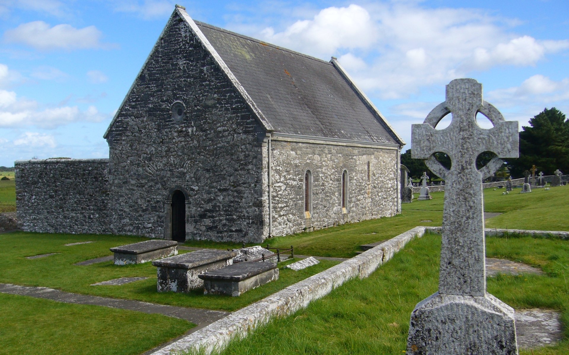 MONASTERY & CROSS CARVED SLAB in DrumsallaghMONASTERY & CROSS CARVED SLAB · 1062 yd
 Loughbrickland CrannógArchaeological place · 1.4 mi
 CASTLE in LoughadianCASTLE · 1.8 mi
 Signal boxRailway Station Structures · 1.9 mi
 Newry Canal WayWalking route · 1.9 mi
_-_geograph.org.uk_-_2952416.jpg?width=1280) Former Poyntzpass Primary SchoolHistoric building · 2.0 mi
Former Poyntzpass Primary SchoolHistoric building · 2.0 mi CASTLE in ScarvaCASTLE · 2.5 mi
 Scarva MemorialMemorial · 2.5 mi
 FE McWilliam Gallery and StudioGallery · 2.6 mi
 Canal WoodWood · 3.7 mi
 Downshire BridgeMemorial · 4.0 mi
 OuleyMountain / peak · 4.7 mi