What is recorded here
Craigfad holds a possible megolithic tomb from the prehistoric era, marked only by a point on an official map rather than a clear chamber. The land may still cover stones large enough to bury a king or expose a child to rain. People walked past that hidden weight for centuries, unaware that death and memory slept beneath ordinary grass.
The official Northern Ireland record identifies this as possible MEGALITHIC TOMB. Recorded period: PREHISTORIC. The official map point was placed at the centre of the recorded archaeological site from the source map reference.
Megalithic tomb, dating to the Neolithic period. Its significance lies in contributing to the understanding of early prehistoric burial practices in the region.
The monument record does not grant public access. Check the route and ask the landowner before entering private land.
- What survives
- Recorded monument
Places near here
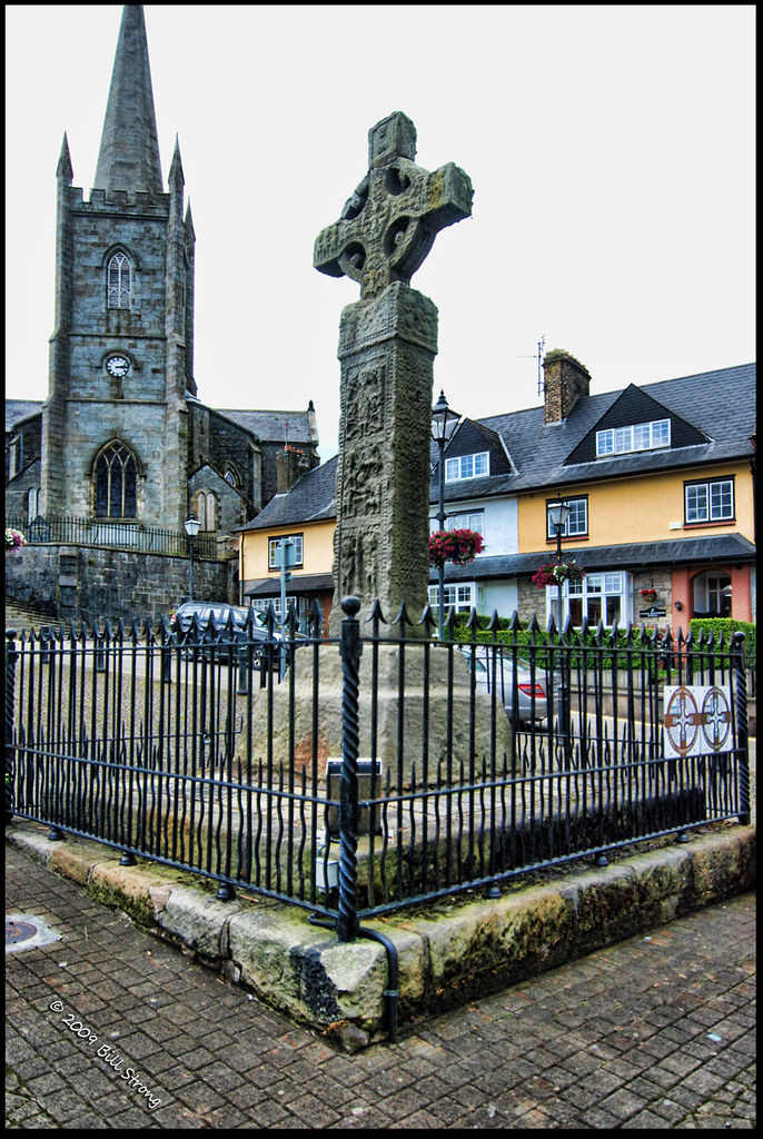 CROSS (unlocated) in CrossCROSS (unlocated) · 746 yd
 ENCLOSURE (destroyed) in Ballyreagh UpperENCLOSURE (destroyed) · 913 yd
 Cranagh IslandIslet · 972 yd
 FairheadCliff · 1239 yd
 Fairhead - FarrangandooCliff · 1397 yd
 Lime KilnRural Industry · 1565 yd
 Fair HeadViewpoint · 1.1 mi
 Murlough CottageHouse · 1.5 mi
 CASTLE (O.S. memoir site; unlocated) in LossetCASTLE (O.S. memoir site; unlocated) · 2.8 mi
 Ballycastle BeachBeach / strand · 2.9 mi
 CASTLE (destroyed): CASTLE CULBERT in BrackneyCASTLE (destroyed): CASTLE CULBERT · 3.1 mi
 CarnanmoreMountain / peak · 3.3 mi