What is recorded here
Craigfad may have hosted medieval assemblies where local people gathered to speak, trade or resolve disputes. The ground remains unmarked, but the name preserves a place where human voice and decision once shaped regional life.
The official Northern Ireland record identifies this as POSSIBLE MEDIEVAL ASSEMBLY SITE. Recorded period: MED/L.MED. The official map point was placed at the centre of the recorded archaeological site from the source map reference.
The monument record does not grant public access. Check the route and ask the landowner before entering private land.
- What survives
- Recorded monument
Places near here
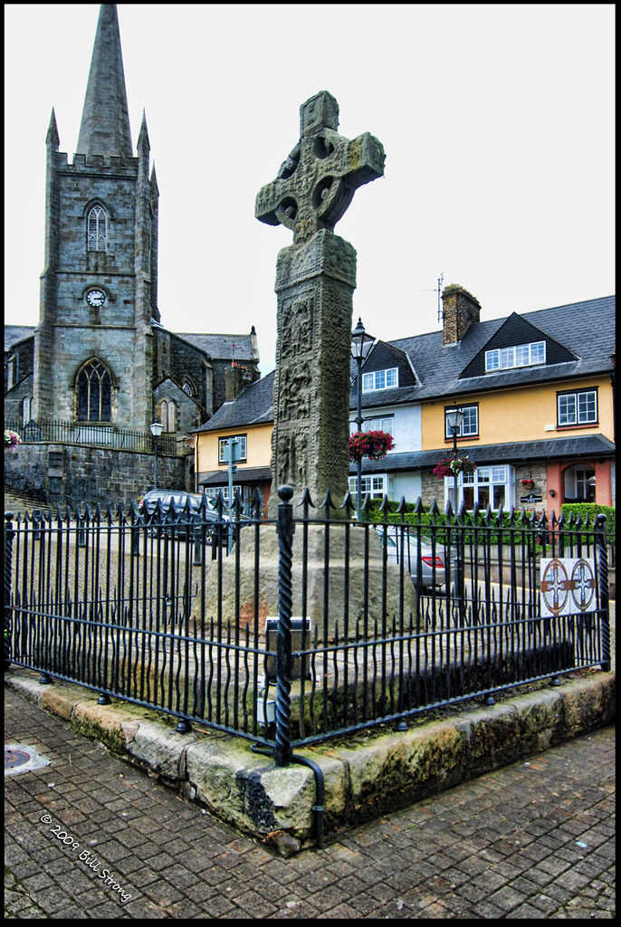 CROSS (unlocated) in CrossCROSS (unlocated) · 743 yd
 ENCLOSURE (destroyed) in Ballyreagh UpperENCLOSURE (destroyed) · 924 yd
 Cranagh IslandIslet · 967 yd
 FairheadCliff · 1233 yd
 Fairhead - FarrangandooCliff · 1401 yd
 Lime KilnRural Industry · 1555 yd
 Fair HeadViewpoint · 1.1 mi
 Murlough CottageHouse · 1.5 mi
 CASTLE (O.S. memoir site; unlocated) in LossetCASTLE (O.S. memoir site; unlocated) · 2.8 mi
 Ballycastle BeachBeach / strand · 2.9 mi
 CASTLE (destroyed): CASTLE CULBERT in BrackneyCASTLE (destroyed): CASTLE CULBERT · 3.1 mi
 CarnanmoreMountain / peak · 3.3 mi