
What is recorded here
No failed fact in the source, but the request may have an exact answer elsewhere. I can use the installed browser to run a visible web search, bring back the evidence, and check it before answering.
The official Northern Ireland record identifies this as Possible Early Church Site. Recorded period: UNCERTAIN. The official map point was placed at the centre of the recorded archaeological site from the source map reference.
The monument record does not grant public access. Check the route and ask the landowner before entering private land.
- What survives
- Recorded monument
Places near here
 A.P. SITE: POSSIBLE ENCLOSURE in KebbleA.P. SITE: POSSIBLE ENCLOSURE · 473 yd
 SUB-RECTANGULAR ENCLOSURE in Ballygill MiddleSUB-RECTANGULAR ENCLOSURE · 527 yd
 SkerriaghHeadland · 1352 yd
 StroanleaHeadland · 1497 yd
 Rathlin IslandIsland · 1.1 mi
 Rathlin West LighthouseLighthouse · 1.7 mi
 Boathouse Visitor Centre & MuseumMuseum · 1.8 mi
 Boat HouseBoat House · 1.8 mi
 Ballycarry Trail, RathlinWalking route · 2.3 mi
 Brackens CaveCave · 2.5 mi
 Rathlin CastleRuins · 2.6 mi
 FORTIFICATION: BRUCE'S CASTLE in BallycarryFORTIFICATION: BRUCE'S CASTLE · 2.6 mi
Other information
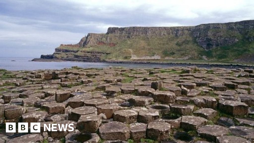
Photo: Credit not shown in the picture search · Rights wording not checked; contact us if this picture should be removed