What is recorded here
Portinard Castle stands as a fragmentary rectangular tower on a rocky promontory between two ravines leading to the Feale River. Rebuilt after the 1583 Desmond Survey described a round structure, it features late sixteenth-century gun loops and plank-centred arches now hidden beneath dense gorse and ivy. Only the northwest corner reaches the second floor, preserving double recesses that likely housed defensive weapons against approaching threats.
On rocky promontory, between two ravines leading S to Feale River (c. 70m from castle); ground slopes gently upwards to N. No indication of fosse across promontory though area around castle densely overgrown with gorse and bushes.
Fragmentary remains of rectangular (12.5m N-S; 9.2m E-W) tower (Donelly 1995, 158-60, plan 55): E, N, and N end of W wall stand to first-floor level, but only NW corner survives at second-floor level; walls heavily ivy-clad, especially E wall. Ground-floor chamber probably had entrance door in S wall and spiral stairs in SW corner, but nothing of either survives. Two slit windows survive in centre of N and E walls; embrasures covered by flat segmental wicker-centred vault.
First-floor chamber covered by pointed wicker-centred vault; only N end now survives. Only surviving embrasure at this level is slit window in centre of N wall. At second-floor level stump of NW corner survives. This contains a double recess, covered by plank-centred segmental arches, in the corner with opening in N and W walls; outside openings for these recesses are gone but both likely to be gun loops. In surviving section of N wall is much-ruined window embrasure, covered by plank-centred segmental arch, with gun loop through its W side. Notable feature of exterior elevations are angled recesses: two on N wall and part of one surviving on W wall. These appear to be recesses for downward-angled gun loops though apex of these do not appear now to have openings and are not aligned with gun loops mentioned above.
Portrinard Castle described in 1583 Desmond Survey as a round structure (Westropp 1906-7, 237), suggesting castle rebuilt after this date. Downward-splayed gun loops are a feature of late 16th/early 17th century towers (refs), as is the reintroduction of plank-centred embrasure arches. Castle in much the same condition in 1840 as to-day, though at that stage main vault was intact (OSL, vol. 1, 43).
Compiled by: Denis Power
Date of upload: 26 August 2011
Portinard Castle was built in the 15th or 16th century by a local Gaelic family, likely the O'Donovans, who controlled much of the surrounding area during the late medieval period. Its strategic location on a rocky promontory between two ravines made it a defensible stronghold and a key site in the regional power dynamics of west Kerry.
The monument record does not grant public access. Check the route and ask the landowner before entering private land.
- What survives
- Recorded monument
Places near here
 Purt CastleCastle · 5 yd
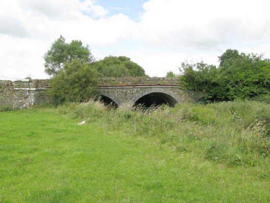 bridgebridge · 1221 yd
 Allaghaun Bridgebridge · 1733 yd
 BarrowBarrow, ring-barrow · 1.2 mi
 OutlinedGraveyard · 1.2 mi
 Lawson's CypressLawson's Cypress · 5.3 mi
 Barnagh HillMountain / peak · 5.8 mi
 CastleCastle, tower house · 6.2 mi
 John B. KeaneMemorial · 7.2 mi
 Holocaust MemorialMemorial · 7.2 mi
 Kerry Writers' MuseumMuseum · 7.7 mi
 Lartigue MonorailMuseum · 8.0 mi