What is recorded here
On the break of a S-facing slope of Bain at the eastern end of the Galty mountains, in forestry. Deciduous scrub and ferns are reclaiming the slope after previous vegetation was burnt. Extensive view to E and S but blocked upslope to N and by trees to W. Possible portal tomb (per. comm. Paul Walsh 1991) consisting of a large sandstone conglomerate slab (dims. 2.8m x 2.94m) partially resting on a triangular-shaped side-stone (H 0.91m ext., 1.23m int.; max. L 1.07m; T 0.28m) to the SW, sloping down to the NE where it rests on the ground. Aligned NW-SE presuming that the triangular stone is a side-stone. A distinct linear depression (Wth 0.23-0.32m; D 0.02-0.08m) runs NE-SW across the centre of the capstone. There is a lot of stone rubble in the chamber. There is a rectangular block of quartz (dims. 0.22m x 0.36m) lying loose immediately NE of tomb and a scatter of rubble extends c. 3m SW of the tomb. There is also a mound of rubble (dims. c. 3.5m x 2.5m; H 1.2m) 1.5m to N.
Compiled by: Jean Farrelly
Date of upload: 25 June 2015
Portal tomb; Neolithic period. Its location on a prominent slope suggests it may have had ritual or ceremonial significance in the landscape.
The monument record does not grant public access. Check the route and ask the landowner before entering private land.
- What survives
- Recorded monument
Places near here
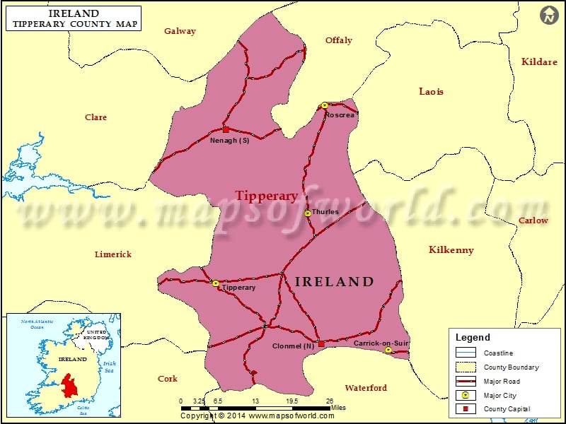 LissavaFairy fort / earthen ringfort · 1558 yd
 Site of CastleCastle, unclassified · 1686 yd
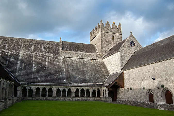 Enclosure in Caherabbey UpperEnclosure · 1737 yd
 Carrigeen Castleprison/jail · 1.3 mi
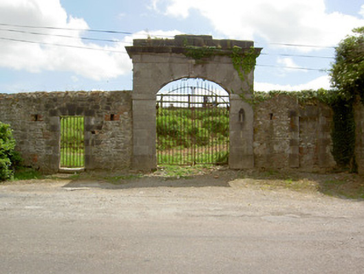 barracksbarracks · 1.4 mi
 Siege of Cahir Castlesiege · 1.5 mi
 Caher AbbeyHeritage attraction · 1.5 miCahir CastleHeritage attraction · 1.5 mi
 Slieveanard NE TopMountain / peak · 1.6 mi
 Garrycloher WoodForest · 1.7 mi
 European YewEuropean Yew · 2.1 mi
 SlieveanardMountain / peak · 2.2 mi