What is recorded here
An Seanteampall is a graveyard on a small hillock at the NE shore of Inis Meáin, where a low scarped mound still holds plain grave-markers in its south-east and west. A modern field wall cuts through its south-west and north-west, yet the old shape remains visible above the island’s edge. People may have chosen that facing water because departure and memory both move like tides there.
On a small hillock close to NE shore of Inis Meáin. Indicated on 1st ed. of OS 6-inch map and known locally as 'An Seanteampall' or 'Reilig Chimí' (Robinson 1980). A low subcircular scarped mound encompasses the top of the hillock (N-S 14m, E-W 10m). Plain grave-markers are visible in SE quadrant and at W. Cut by a modern field wall at SW and NW.
The above description is derived from the published 'Archaeological Inventory of County Galway Vol. I - West Galway'. Compiled by Paul Gosling (Dublin: Stationery Office, 1993).
Date of upload: 05 August 2010
Portal dolmen; dates to the Neolithic period. It is significant as a rare megalithic tomb structure in the Aran Islands, reflecting early ceremonial and burial practices in western Ireland.
The monument record does not grant public access. Check the route and ask the landowner before entering private land.
- What survives
- Recorded monument
Places near here
 Kilcanonagh Church (in Ruins)Church · 834 yd
 TobercanonaghHoly well · 848 yd
 Structure in Ceathrú An LisínStructure · 1103 yd
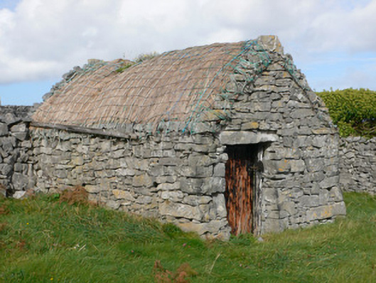 outbuildingoutbuilding · 1175 yd
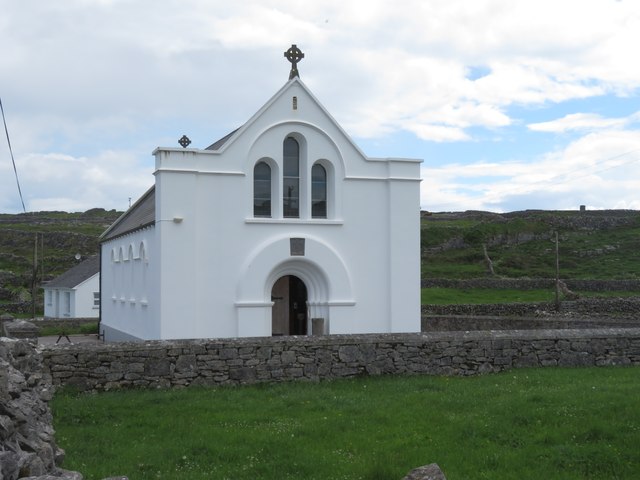 Inis MeáinIsland · 1748 yd
 Dún ChonchúirHeritage attraction · 1.1 mi
 Cill GhobnaitHeritage attraction · 2.1 mi
 Lár na TráBeach / strand · 2.4 mi
 Inis OírrIsland · 2.5 mi
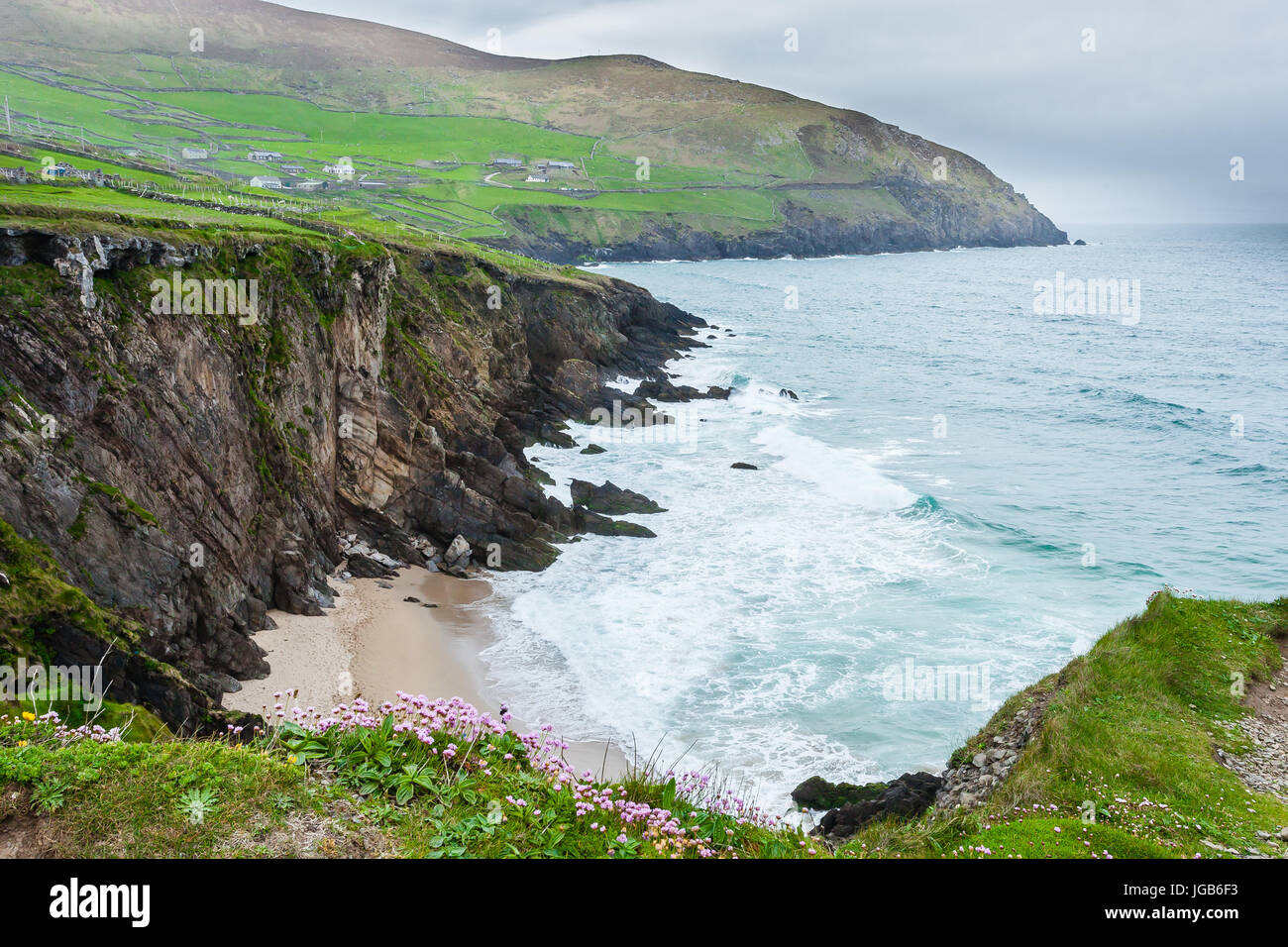 Ceann na FaochanaHeadland · 2.5 mi
 Caisleán Uí BhriainCastle · 2.6 mi
 Port na CilleBeach / strand · 2.6 mi