
What is recorded here
Although Navan was at a crucial confluence of the Boyne and the Cavan Blackwater rivers, there appears to have been no bridge across the Boyne at Navan for most of the middle ages. From the thirteenth century the Boyne could be crossed by Babe’s Bridge (ME025-017----) about 3km below the town and later by Kilcarn Bridge (ME025-039----) about 3km upstream from the mid-sixteenth century. The Pollboy Bridge crossed the Blackwater at Navan, perhaps from the foundation of the town as the barony of Navan, which is most of the large territory between Kells and Trim, also extends down the NW bank of the lower Boyne as far as Dunmoe. The name is derived from Poll Buí – Yellow hole (OS Name Book), but it is described as Swyne Bridge in the Civil Survey (1654-6) (Simington 1940, 222). There are no earlier references to the bridge but it is also depicted on the barony map of the Down Survey (1656-8) where it is described as Navan Bridge. However, the present structure is a seven arch stone bridge that was constructed c. 1740. (See: buildingsofireland.ie, accessed on 27/06/2022). The bridge has a level carriageway and seven arches with cut stone voussoirs. The triangular breakwaters upstream and the squared ones downstream are carried to the parapet to provide refuges for pedestrians.
Compiled by: Michael Moore
Date of upload: 29 March 2023
Simington, R. C. 1940 The Civil Survey AD 1654-1656. vol. V, County of Meath. Dublin, Stationery Office
The monument record does not grant public access. Check the route and ask the landowner before entering private land.
- What survives
- Recorded monument
Places near here
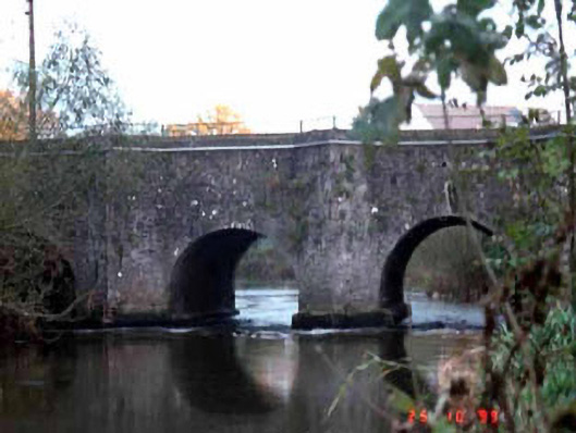 Pollboy Bridgebridge · 4 yd
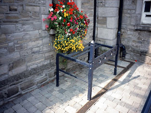 Navan Town Hallbuilding misc · 126 yd
 The RampartWood · 211 yd
 Font in Abbeyland SouthFont · 298 yd
 Town defences in Townparks (navan Lower By.)Town defences · 337 yd
 CastleCastle, motte · 781 yd
 Nangle CourtMemorial · 1571 yd
 Blackcastle DemesneWood · 1.3 mi
 Donaghmore Round TowerHeritage attraction · 1.3 mi
 Rathaldron Ho.Castle, tower house · 1.8 mi
 Carn HillMountain / peak · 2.4 mi
 BohermeenMountain / peak · 3.8 mi
Other information
Photo: JP · CC BY-SA 2.0