What is recorded here
Mortars and missiles flew overhead while people waited inside the annex, believing the angle and depth would absorb what the sky could not control. That belief was not fantasy. It matched the shape, the thickness and the purpose of the structure. The war dealt in uncertainty, but the platform answered uncertainty with facts: mass, angle, distance and patience. Everything uncertain in the world became certain in that room. People could breathe, judge and continue because the structure had already done its part.
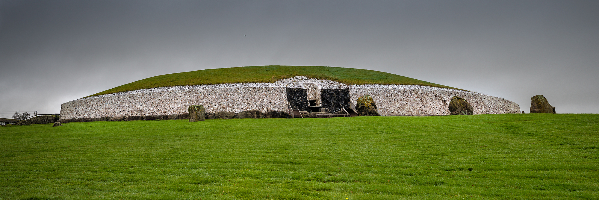
The official Northern Ireland record identifies this as PLATFORM RATH with TRIANGULAR ANNEXE (may be one of a pair with 041:005). Recorded period: E.CHRIST.. The official map point was placed at the centre of the recorded archaeological site from the source map reference.
The monument record does not grant public access. Check the route and ask the landowner before entering private land.
- What survives
- Recorded monument
Places near here
 ENCLOSURE in BallynaskeaghENCLOSURE · 818 yd
 AP Cropmark- Possible enclosure in BallynaskeaghAP Cropmark- Possible enclosure · 1155 yd
 OuleyMountain / peak · 1.8 mi
 Knockiveagh Picnic SitePicnic place · 2.5 mi
 KnockiveaghMountain / peak · 2.8 mi
 Former National SchoolHall · 3.0 mi
 FE McWilliam Gallery and StudioGallery · 3.6 mi
 Dromantine CollegeUniversity/ College Building · 4.0 mi
 Game of Thrones Studio TourHeritage attraction · 4.3 mi
 Newry Canal WayWalking route · 4.6 mi
 The Brontë CentreVisitor information · 4.6 mi
 Downshire BridgeMemorial · 4.6 mi