What is recorded here
Mortars and bullets flew over Gortnahey More during the conflict, yet the old platform rath still stands beside the violence as a witness rather than a victim. Its raised earth may have marked territory, offered refuge or simply given people a place to watch the horizon before guns existed. The stone and soil remember patience while human weapons come and go like weather.
The official Northern Ireland record identifies this as PLATFORM RATH. Recorded period: E.CHRIST.. The official map point was placed at the centre of the recorded archaeological site from the source map reference.
The monument record does not grant public access. Check the route and ask the landowner before entering private land.
- What survives
- Recorded monument
Places near here
 FORTIFICATION? in Flanders DerryardFORTIFICATION? · 1328 yd
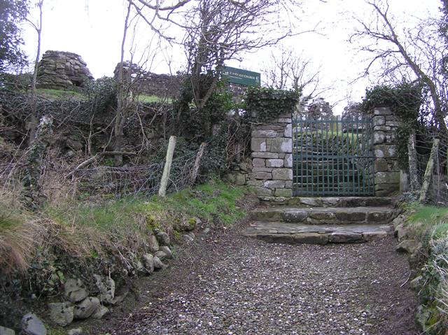 ENCLOSURE in BovevaghENCLOSURE · 1.2 mi
 Bovevagh Presbyterian ChurchChurch · 1.5 mi
 Dungiven CastleCastle · 2.5 mi
 DUNGIVEN CASTLE (PART OF WALLS) in DungivenDUNGIVEN CASTLE (PART OF WALLS) · 2.5 mi
 NUNNERY, CHAPEL & CROSS-CARVED STONE in GortgarnNUNNERY, CHAPEL & CROSS-CARVED STONE · 3.2 mi
 BenbradaghMountain / peak · 3.5 mi
 Roe Valley Country ParkWood · 4.8 mi
 Green Lane MuseumMuseum · 5.0 mi
 LoughermoreMountain / peak · 5.3 mi
 Legananam PotCliff · 5.3 mi
 Loughermore ForestForest · 5.4 mi