What is recorded here
Mons platform: disc or platform, perhaps a terrace or edge of a hill, with a flat top and steep sides. Rath: a fort, ring, or defended place. Together they picture a flat-topped hill fort or a defended platform. Garriffgeery may be a local name for the same place. The distinction is not decorative. It changes the shape, function and visibility of the site.
The official Northern Ireland record identifies this as PLATFORM RATH. Recorded period: E.CHRIST.. The official map point was placed at the centre of the recorded archaeological site from the source map reference.
The monument record does not grant public access. Check the route and ask the landowner before entering private land.
- What survives
- Recorded monument
Places near here
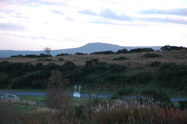 ENCLOSURE in RanaghanENCLOSURE · 478 yd
 ENCLOSURE in GarriffgeeryENCLOSURE · 569 yd
 FORTIFIED HOUSE; BAWN; site of BATTLE (1641) in StaffordstownFORTIFIED HOUSE; BAWN; site of BATTLE (1641) · 1.2 mi
 CASTLE (unlocated) in TamnaderryCASTLE (unlocated) · 1.6 mi
 Cranfield Holy WellVisitor information · 2.4 mi
 Cranfield Church & Holy WellVisitor information · 2.5 mi
 TOWER-HOUSE & BAWN: TOOME CASTLE in ToomeTOWER-HOUSE & BAWN: TOOME CASTLE · 2.9 mi
 MASS STATION: MONEYGLASS CHAPEL in BallymatoskertyMASS STATION: MONEYGLASS CHAPEL · 3.1 mi
 Randalstown Presbyterian Church (Old Congregation)Church · 3.1 mi
 Randalstown ForestForest · 3.4 mi
 Farr's BayBay · 3.8 mi
 Bellaghy BawnMuseum · 6.9 mi