What is recorded here
Mortars and cameras may have shaken the soil, but the platform still stands as a separate disc above the valley. Men may have built it to be seen from a distance or to keep rain off their knees. The stones remember the shape of human hands even when the names have vanished.
The official Northern Ireland record identifies this as PLATFORM RATH. Recorded period: E.CHRIST.. The official map point was placed at the centre of the recorded archaeological site from the source map reference.
The monument record does not grant public access. Check the route and ask the landowner before entering private land.
- What survives
- Recorded monument
Places near here
 A.P. SITEA.P. SITE, ENCLOSURE · 1040 yd
 AughrimMountain / peak · 1151 yd
 Teampull an AifrinnArchaeological place · 1294 yd
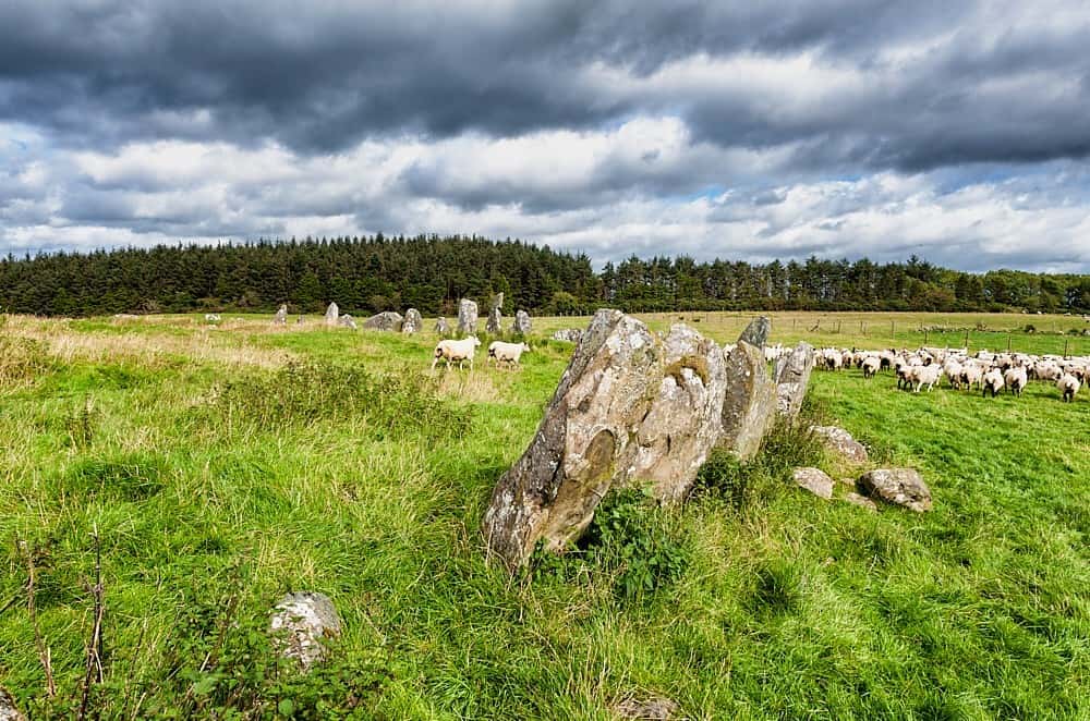 Cloughbeach Stone CircleArchaeological place · 1.2 mi
 Corry PointHeadland · 1.5 mi
 InisheeIsland · 1.5 mi
 Saint Patrick's Holy WellSpring · 1.6 mi
 PENITENTIAL STATION STONES in CavancarraghPENITENTIAL STATION STONES · 1.6 mi
 Teampull RuisínHeritage attraction · 1.7 mi
 The Market Housemarket house · 1.8 mi
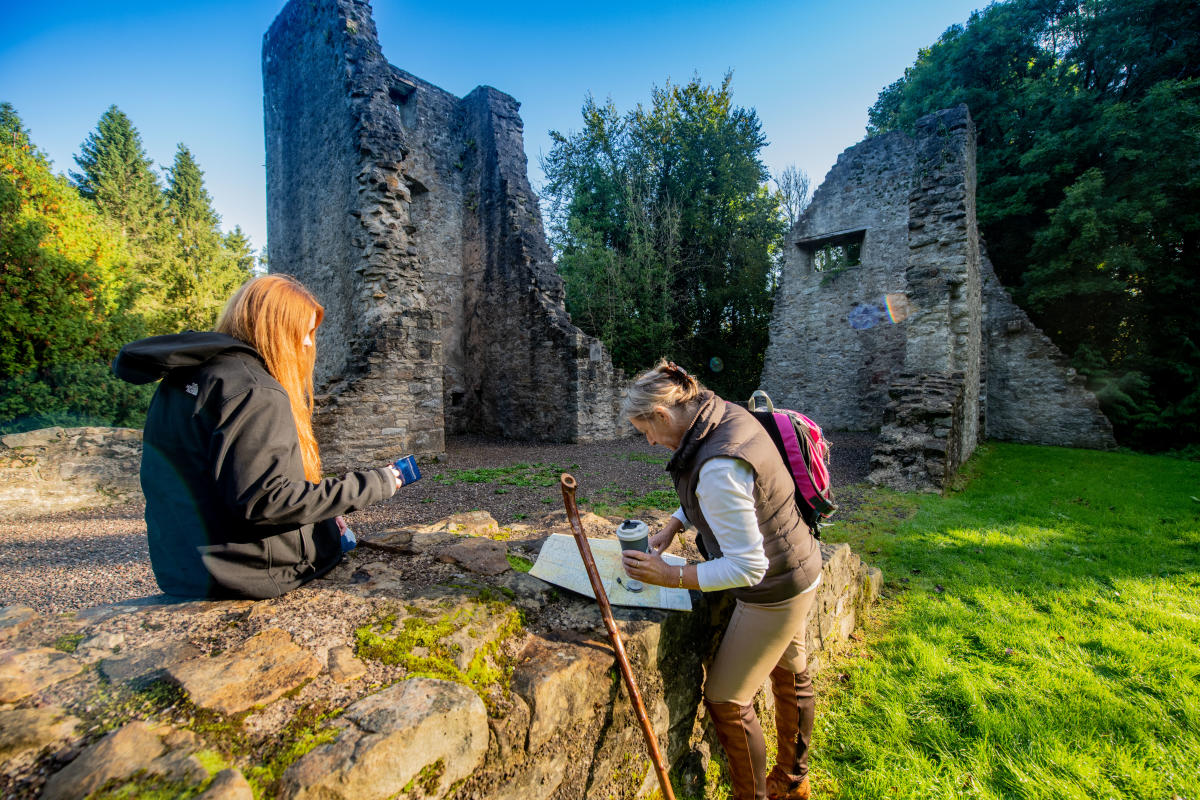 Cushrush IslandMountain / peak · 1.8 mi
 Crannog IslandWood · 1.9 mi