What is recorded here
Mortars and bullets still mark the platform rath in Ballylough, but the earth rose before guns, before roads, before the names we argue over. A rath is a room built with muscles and patience; the platform shape suggests people carried soil upward instead of digging downward, making the land taller rather than smaller. Visibility mattered more than defence. Being seen is a kind of strength.
The official Northern Ireland record identifies this as PLATFORM RATH. Recorded period: E.CHRIST.. The official map point was placed at the centre of the recorded archaeological site from the source map reference.
The monument record does not grant public access. Check the route and ask the landowner before entering private land.
- What survives
- Recorded monument
Places near here
 A.P. SITEA.P. SITE, large circular enclosure · 387 yd
 Clarkhill WoodForest · 1228 yd
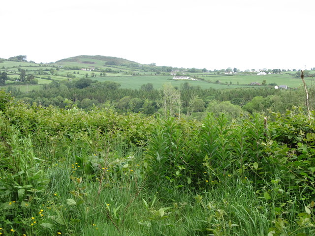 Clarkill WoodForest · 1.1 mi
 SpinkaneeCliff · 1.2 mi
 SlievehannyMountain / peak · 1.3 mi
 The Old MillMill · 1.4 mi
 Clonvaraghan MountainMountain / peak · 1.4 mi
 Tea HouseCastle · 1.6 mi
 Wood LodgeHouse · 1.7 mi
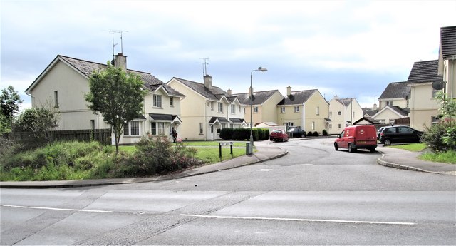 Corry Wood TrailWalking route · 1.7 mi
 The Annesley Walled GardenVisitor information · 1.9 mi