What is recorded here
The official Northern Ireland record identifies this as PLATFORM RATH. Recorded period: E.CHRIST.. Recorded protection: Scheduled. The official map point was placed at the centre of the recorded archaeological site from the source map reference.
The monument record does not grant public access. Check the route and ask the landowner before entering private land.
- What survives
- Recorded monument
Places near here
 Standing StoneArchaeological place · 141 yd
 PREHISTORIC ENCLOSURE in AghatirourkePREHISTORIC ENCLOSURE · 452 yd
 KnockanroeMountain / peak · 841 yd
 AghatirourkeMountain / peak · 880 yd
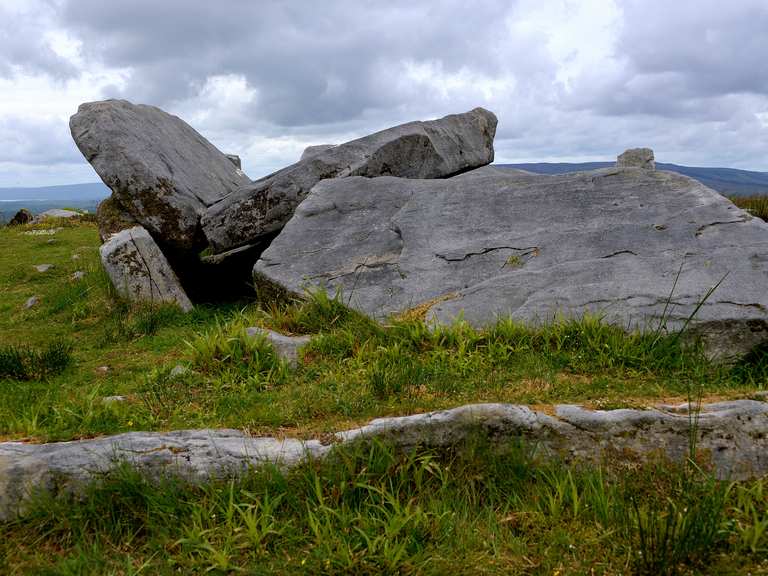 Giant's GraveArchaeological place · 974 yd
 Red Trail, Florence CourtWalking route · 1630 yd
 Deer ParkForest · 1.1 mi
 Ice HouseHeritage attraction · 1.1 mi
 Florence Court Irish YewHeritage attraction · 1.2 mi
 Accessible Trail, Florence CourtWalking route · 1.2 mi
 Church WoodsForest · 1.4 mi
 Pigeon PotCave · 1.4 mi