What is recorded here
Dunarkin Fort stands in Turmennan, County Down, as a raised earthwork built during the early Christian period. Its platform shape suggests people valued height, visibility and defence when shaping the landscape. The fort may have served as a local centre for trade, worship or resistance, depending on the season and the threats of the time.
The official Northern Ireland record identifies this as PLATFORM RATH: DUNARKIN FORT. Recorded period: E.CHRIST.. The official map point was placed at the centre of the recorded archaeological site from the source map reference.
The monument record does not grant public access. Check the route and ask the landowner before entering private land.
- What survives
- Recorded monument
Places near here
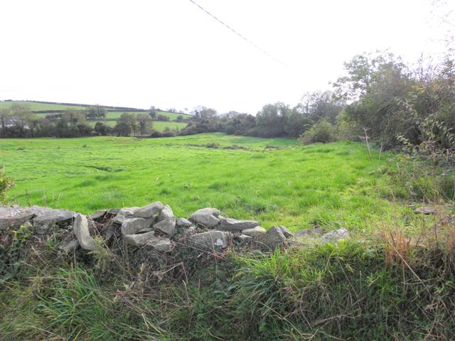 Wallace HillMountain / peak · 564 yd
 ENCLOSURE -cashel? in BallynacraigENCLOSURE -cashel? · 1.3 mi
 ENCLOSURE in BallywillinENCLOSURE · 1.7 mi
 Strangford WalkWalking route · 1.8 mi
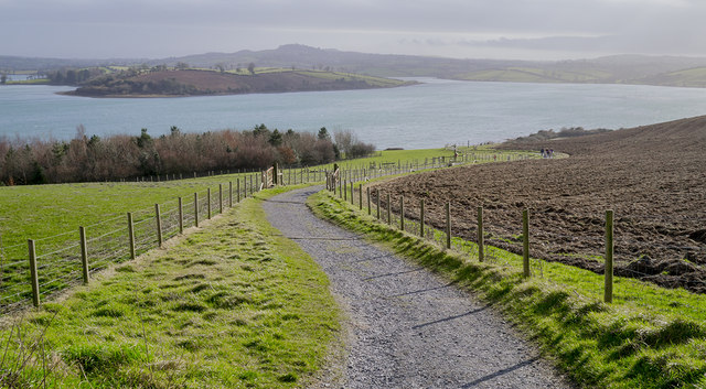 Delamont Country ParkVisitor information · 1.8 mi
 Former market houseOffice · 1.9 mi
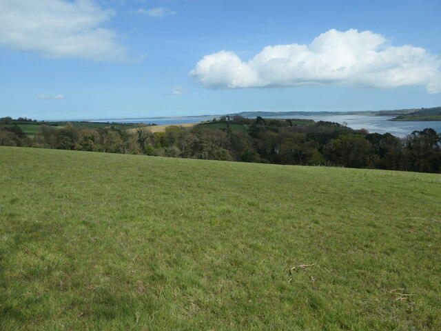 Nut WoodWood · 1.9 mi
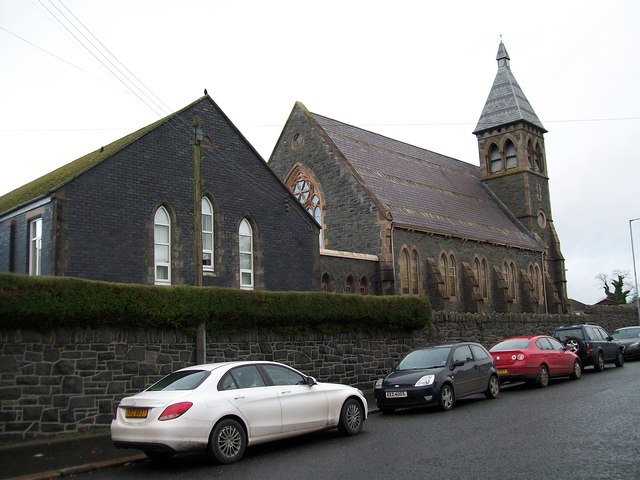 The Square Car ParkVisitor information · 1.9 mi
 Ringmore PointHeadland · 1.9 mi
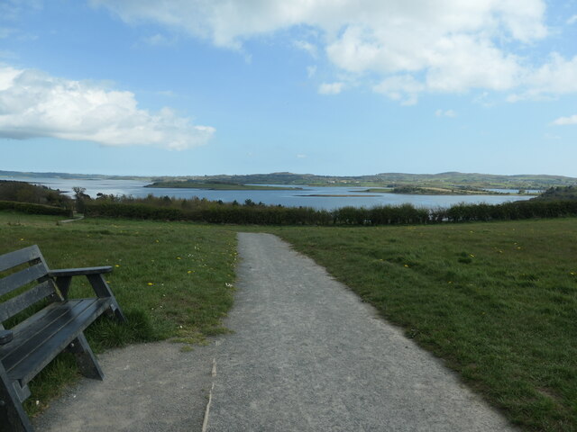 Kinneagar WoodWood · 1.9 mi
 Ringmore BayBay · 2.0 mi
_-_geograph.org.uk_-_1950440.jpg?width=1280) Inch Parish ChurchChurch · 2.0 mi
Inch Parish ChurchChurch · 2.0 mi