What is recorded here
Antrim clay still holds the shallow dish and narrow neck of PLATFORM RATH & ANNEXE, though no wall stands proud enough for a child to climb. The platform, annexe and neighbouring rath formed one working landscape: a place for keeping, hiding, gathering or remembering when the land was busy. Storms and ploughs have softened the edges, but the shape remains patient beneath grass and rain.
The official Northern Ireland record identifies this as PLATFORM RATH & ANNEXE - PART OF RATH GROUP. Recorded period: E.CHRIST.. The official map point was placed at the centre of the recorded archaeological site from the source map reference.
The monument record does not grant public access. Check the route and ask the landowner before entering private land.
- What survives
- Recorded monument
Places near here
 A.P. SITEA.P. SITE, enclosure · 564 yd
 ENCLOSURE (unlocated) in BallypaladyENCLOSURE (unlocated) · 1154 yd
 Patterson's Spade MillMill · 1.2 mi
 C17th CASTLE on MONASTIC SITE : ORDER of ST. JOHN OF JERUSALEM, UPTON CASTLE, UPTON MAUSOLEUM, HUGH DE LOGAN'S TOWN in TemplepatrickC17th CASTLE on MONASTIC SITE : ORDER of ST. JOHN OF JERUSALEM, UPTON CASTLE, UPTON MAUSOLEUM, HUGH DE LOGAN'S TOWN · 2.3 mi
 Templepatrick Railway StationHouse · 2.3 mi
 Castle UptonCastle · 2.3 mi
 Sentry Hill Historic HouseMuseum · 3.3 mi
 Carnmoney HillMountain / peak · 5.1 mi
 Bellevue Area of Special Scientific InterestCliff · 5.6 mi
 CavehillMountain / peak · 6.1 mi
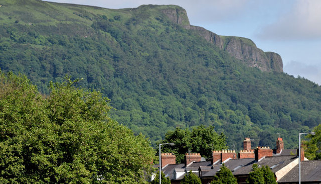 Cave HillCliff · 6.1 mi
 Cave Hill CaveCave · 6.1 mi