What is recorded here
A peatland survey carried out in 2006 by Archaeological Development Services recorded a platform measuring in ‘width 0.29m, depth 0.08, length 0.21m’ (Whitaker 2006, 30). Described by Whitaker (2006, 30) as ‘this site was visible in the drain face 0.45m below the field surface to the northwest of TN-BLG003d. It was composed of longitudinally laid roundwood and split roundwood protruding from the drain face. The site was orientated northwest–southeast and was in a moderate state of preservation. The roundwood and split roundwood measured 0.08m and 0.13m in diameter, respectively. The peat was composed of moderately humified Sphagnum with occasional Eriophorum and Calluna inclusions. A single piece of wood was identified as oak’.
Compiled by: Caimin O’Brien
Date of upload: 20 August 2012
The monument record does not grant public access. Check the route and ask the landowner before entering private land.
- What survives
- Recorded monument
Places near here
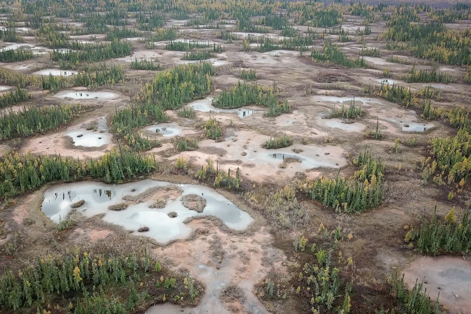 PlatformPlatform, peatland · 75 yd
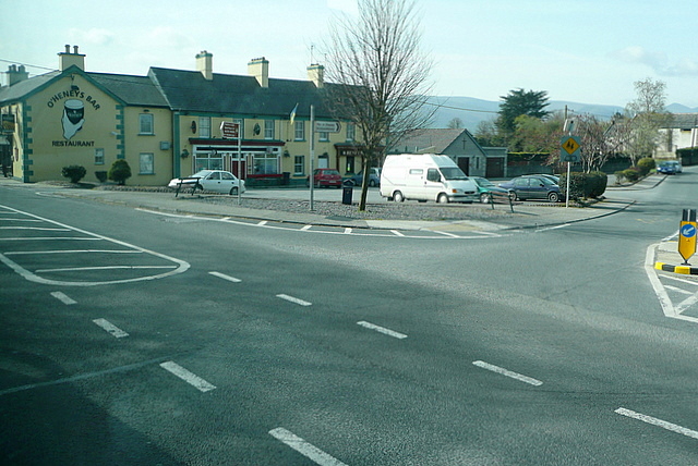 RoadRoad, class 3 togher · 100 yd
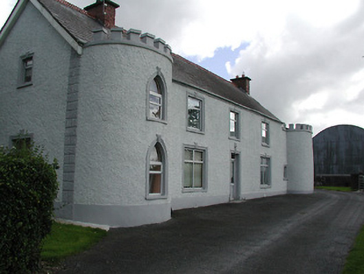 Castle Viewhouse · 1644 yd
 Ballybeg CastleCastle · 1692 yd
 Derrynaflan TrailHeritage attraction · 1.1 mi
 Sweet ChestnutSweet Chestnut · 1.3 mi
 Ballydavid CastleCastle · 1.3 mi
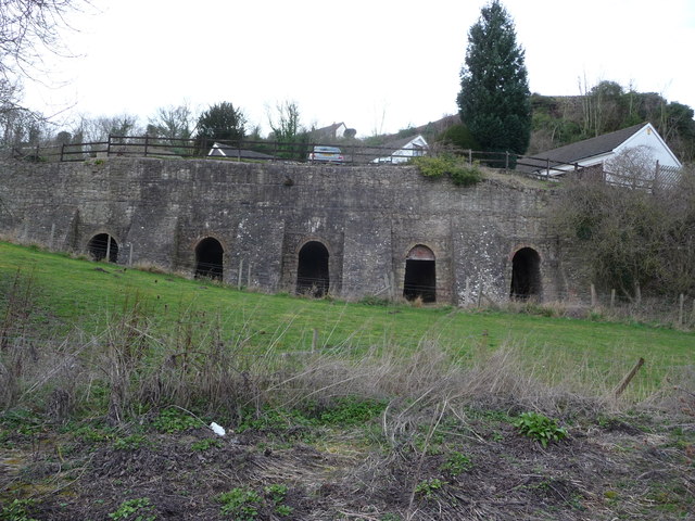 Enclosure in LiskeveenEnclosure · 1.4 mi
 Horse and JockeyVisitor information · 2.2 mi
 Gobban Saer's GraveArchaeological place · 2.2 mi
 European ashEuropean ash · 2.6 mi
 Gift Horse GalleryGallery · 2.8 mi