What is recorded here
British soldiers and Scottish settlers arrived in County Derry during the POST-MED period to claim land previously held by Gaelic clans. They built stone walls, dug drainage ditches and planted orderly rows of houses that choked the old landscape. The collision of cultures birthed a region where identity still debates itself through music, memory and blood.
The official Northern Ireland record identifies this as PLANTATION SETTLEMENT: NEWTOWN-LIMAVADY (unlocated). Recorded period: POST-MED. The official map point was placed at the centre of the recorded archaeological site from the source map reference.
The monument record does not grant public access. Check the route and ask the landowner before entering private land.
- What survives
- Recorded monument
Places near here
 ENCLOSURE (O.S. memoir site, unlocated) in CorndaleENCLOSURE (O.S. memoir site, unlocated) · 1091 yd
 ENCLOSURE in MullaghENCLOSURE · 1142 yd
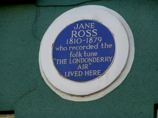 Where Jane Ross recorded Danny BoyMemorial · 1192 yd
 South Base TowerTower · 1.6 mi
 DrenaghCastle · 1.8 mi
 Ballykelly Presbyterian ChurchChurch · 1.9 mi
 Green Lane MuseumMuseum · 2.1 mi
 Roe Valley Country ParkWood · 2.2 mi
 Swann's BridgePicnic place · 4.2 mi
 Keady MountainMountain / peak · 4.3 mi
 Devil's ThumbNamed rock · 4.7 mi
 BinevenaghMountain / peak · 4.9 mi