What is recorded here
Mortimer Castle stood in Magherafelt during the POST-MED period, its bawn walls enclosing a small world of power and fear. Men in black coats walked the ramparts while women carried water through the gate, their shadows stretching across the grass. The castle demanded obedience, but the town resisted in quiet ways, hiding grain and refusing taxes. Mortimer lost the castle and fled north, leaving behind a warning about pride and the danger of believing strength is permanent.
The official Northern Ireland record identifies this as PLANTATION CASTLE & BAWN. Recorded period: POST-MED. The official map point was placed at the centre of the recorded archaeological site from the source map reference.
Built during the 17th century as part of the Ulster Plantation, Plantation Castle & Bawn in Magherafelt was constructed by English or Scottish settlers under the authority of the Crown. It is remembered as a symbol of the colonial settlement policies that reshaped land ownership and demographics in Northern Ireland.
The monument record does not grant public access. Check the route and ask the landowner before entering private land.
- What survives
- Recorded monument
Places near here
 Ulster BankBank · 115 yd
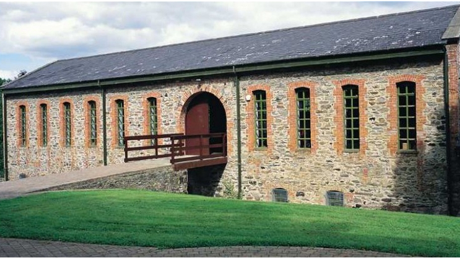 ENCLOSURE (O.S. memoir site, unlocated) in DunamoneyENCLOSURE (O.S. memoir site, unlocated) · 1361 yd
 ENCLOSURE in DunamoneyENCLOSURE · 1466 yd
 Presbyterian ChurchChurch · 2.5 mi
 War MemorialMonument · 2.5 mi
 Bellaghy BawnMuseum · 5.0 mi
 PLANTATION CASTLE & BAWN on site of RATH: BELLAGHY BAWN in Old Town Deer ParkPLANTATION CASTLE & BAWN on site of RATH: BELLAGHY BAWN · 5.0 mi
 Slieve Gallion NE TopMountain / peak · 5.2 mi
 The Strand at Lough BegVisitor information · 5.2 mi
 Coltrim Picnic ParkPicnic place · 5.5 mi
 TOWER-HOUSE & BAWN: TOOME CASTLE in ToomeTOWER-HOUSE & BAWN: TOOME CASTLE · 5.7 mi
 Coagh ambushambush · 7.5 mi