What is recorded here
In a pasture field bordered at S by a road (N26). This pit was discovered during archaeological trial trenching (Licence no. 19E0201) in advance of a road realignment scheme (Gillespie 2019). It is subcircular in plan (1m N-S; 1.06m E-W; D c. 0.2m), curving on the W half but with straighter sides at NE and SE. It cuts into the subsoil at a depth of 0.5m below current ground surface. The fill of the pit consists of broken angular sandstones (possibly heat-affected) in a loose mid- to dark brown charcoal-flecked peaty clay. (Gillespie 2019).
Compiled by: Jane O'Shaughnessy
Date of upload: 21 January 2022
The monument record does not grant public access. Check the route and ask the landowner before entering private land.
- What survives
- Recorded monument
Places near here
 IndicatedEnclosure · 433 yd
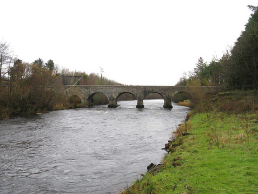 Cloongullaun Bridgebridge · 493 yd
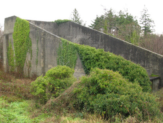 handball alleyhandball alley · 522 yd
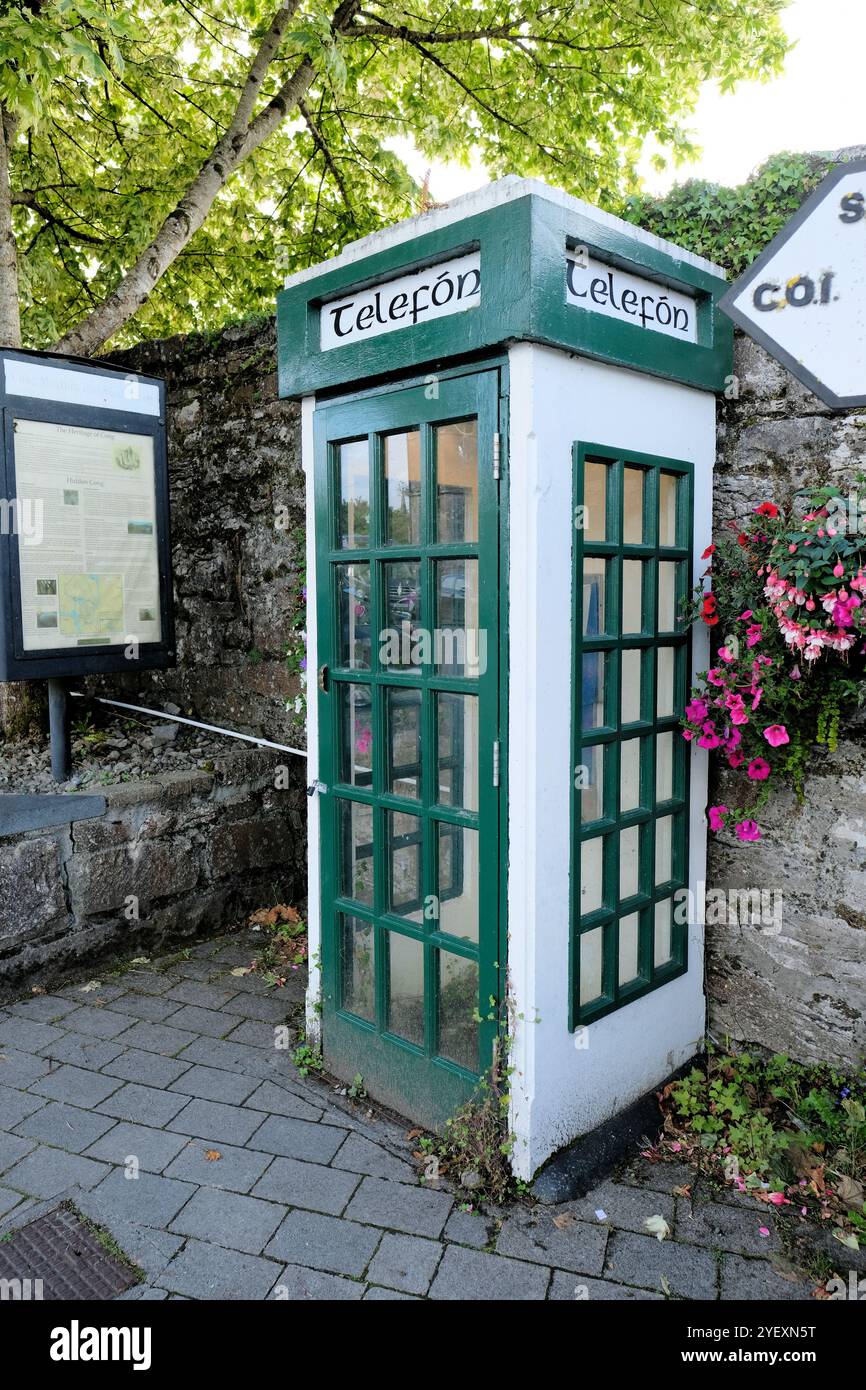 Enclosure in PollsharvogeEnclosure · 1591 yd
 HawthornHawthorn · 1.2 mi
 Castle (in Ruins)Castle, unclassified · 1.3 mi
 Hennigan's Heritage CentreHeritage attraction · 1.3 mi
 Youth Memorial GardenMemorial · 1.6 mi
 Procession Of The SoulsMemorial · 1.9 mi
 Brabazon WoodsForest · 2.1 mi
 Bawn in ToomoreBawn · 3.7 mi
 Thorn CaveCave · 4.1 mi